Hanging and Gliding Short Film Released

I released my first short film – Hanging and Gliding. I started working on the film in March 2021 and recorded the Twilight Flight on March 3. This flight to the beach was going to be the introduction to the film about Willy setting the world record for out-and back flights. When Willy didn’t set the record, I had to change to movie to focus on them flying to the beach. The footage was so stunning that I figured it would make a good movie. I ended up editing the video until the movie was 15 minutes long – just about the length of the flight.

This is the promotional poster for the film. Butter Media is my production company.

After getting the footage, the hardest part of the editing process was getting the audio to go with the flights. I used epidemicsound.com to get music for the background. Then interviewed Mike and Willy to get them to talk about flying and sync it up with the video. I had to adjust the volume, remove drone noise and tie the audio clips to the video. I was really pleased with how interesting their audio came out. Mike and Willy spoke about the peace and beauty of flying real well.

I also had to learn to use Adobe Premiere Pro to edit the film. I was surprised how easy it was to learn the software. A plethora of youtube videos showed me how to make titling, fix the audio, trim clips and so much more. The software is incredibly powerful and I’ve only scratched the surface.

Here is the trailer.

After completing the film, I uploaded it to Film Freeway that works with over 5,000 film festivals around the world. I found it very easy to submit the film to 35 film festivals. I submitted the film all around the world – Egypt, Austria, Australia, England, France, Turkey, Morocco, Estonia, Bratslava, Chile, Canada and all over the US. 

Here is a list of the film festivals that I submitted the film to and the date when I should find out when it is accepted or rejected.

Santa Barbara International Film Festival Jan 31, 2022  

MAFF | Matsalu Nature Film Festival Aug 1, 2022  

Melbourne Documentary Film Festival Jun 30, 2022  

Les Bois Film Festival Feb 28, 2022  

Antakya International Film Festival Sep 20, 2022  

Rabat International Author Film Festival Sep 1, 2022  

Awesome Con Short Film Festival 2022 Apr 29, 2022  

Los Angeles Lift-Off Film Festival Sep 5, 2022  

Austria International Film Festival Dec 5, 2022  

International Alexandria Short Film Festival Apr 15, 2022  

Midwest Action Fest. Action, Adventure & Co… Feb 28, 2022  

Hory a mesto/Mountains and City – Internati… Apr 15, 2022  

Myrtle Beach International Film Festival Mar 4, 2022  

Green Screen Environmental Film Festival (T… Sep 30, 2022  

Ottawa Adventure Film Festival Apr 1, 2022  

Thin Line Fest Feb 18, 2022  

5Point Adventure Film Festival Mar 18, 2022  

EarthX Film Festival Mar 1, 2022  

Maine Outdoor Film Festival May 22, 2022  

Mountainfilm May 15, 2022  

NorthwestFest International Documentary F… Mar 14, 2022  

Concepcion Independent Film Awards Jul 25, 2022  

San Francisco Frozen Film Festival (SFFFF) Jun 14, 2022  

DOC LA. Los Angeles Documentary Film Festi… Sep 30, 2022  

Crown Heights Film Festival in Brooklyn, NY Jul 15, 2022  

SACRAMENTO UNDERGROUND FILM & ARTS … Jul 16, 2022  

XPLORE ALPES FESTIVAL Aug 13, 2022  

Dawson City International Short Film Festival Mar 16, 2022  

Wasatch Mountain Film Festival Feb 16, 2022  

Hill Country Film Festival Apr 25, 2022  

Rural FilmFest Jun 3, 2022  

Catalina Film Festival Jul 15, 2022  

Faith in Film: International Film Festival and S… May 8, 2022  

Bristol Independent Film Festival Aug 12, 2022  

Aspen Shortsfest Mar 3, 2022  

I hope it gets accepted to a few of these festivals. I’ll let you know when it does.
A Shit Hole

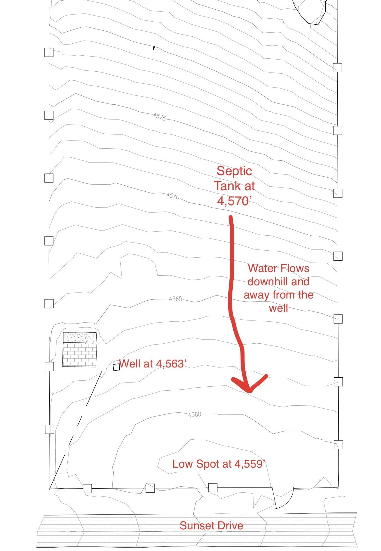
Well, I got the water system working and have all the water I want. Now, I need a place to defecate. I have a toilet and gray water in the RV, but I needed a place to dump the waste from the RV and eventually our home. To keep the well water clean, I needed to build a septic system so that I don’t contaminate our water source. The septic tank needed to be at least 100’ away from the well to not contaminate it. I also wanted the septic tank to be downstream from the well. I didn’t want my shit to seep into the well, even from 100’.

I also wanted the septic tank to be below any structures that I built so that I wouldn’t need a pump to get the sewage to the septic tank and leach field. Amy made the drawing below and we ,submitted it with the application to Inyo County for the septic system. They approved it and it only cost $200.

Here’s the layout of the septic tank system and the driveways up the property. The area to the left of the septic system is where the RV will be placed, uphill from the buried septic tank.

Once we had the permit, the first thing to do was dig an 8′ deep hole that would make sure that we didn’t hit the water table. Some times of the year after big rains, the water table is about at ground level near the bottom of the property, but we were placing the septic tank at least 10′ uphill as shown in this survey.

Here’s the topography of the land in one foot increments. We didn’t have this when we submitted the application for the septic system, but we did know the basic layout of the land.

We called Cricket and he scraped the road out of the sage brush before he could dig the hole. This video shows that and a little more. One downer about this video is that it shows how thick the smoke was. We couldn’t even see the mountains for many days in September.

This video shows Cricket digging the test hole for the septic tank.

Cricket hit some hard sandstone at 7′ and he thought the inspector Jerry Oser would pass it anyway since we weren’t burying anything that deep. I called Jerry and he came out the next day to inspect it. He looked at it and said dig away. Cricket got right to work digging the land up to put in the septic tank and the leach field. It was all sand, so it was easy digging with the backhoe. We didn’t run into any boulders and the only challenge was getting it flat. Cricket had a laser that helped us dig to true.

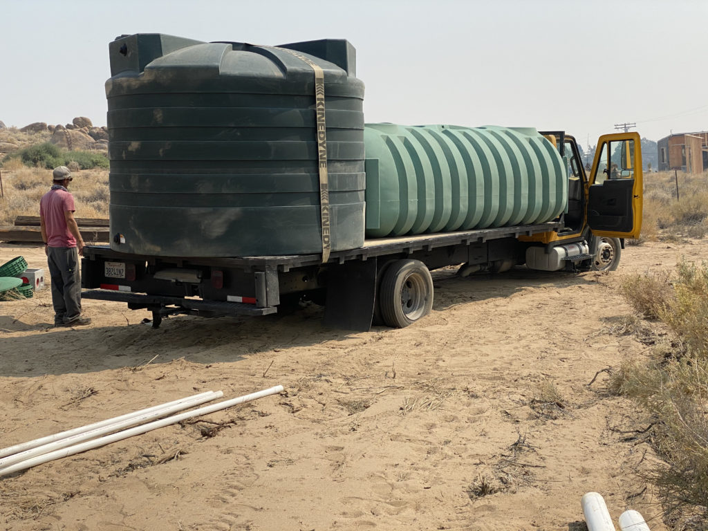
I tried to borrow a trailer from Cricket to get my water tank and septic tank, but I wisely chose for them to deliver it from Inyo-Kern True Value Hardware. Instead of spending a day getting the stuff, they collected it all for me and delivered it. The 2,650 gallon water tank is on the back and the 1,250 gallon, green septic tank is in front of it. One extender blew off the truck on the way to the house. 4″ pipe is in the lower right side of the pic and would be used for connecting to the leach field.

With the tank at hand, Cricket dug the pit for the septic tank. Here’s a time elapse video of him placing the tank in the hole.

This was the second lowering of the septic tank into the hole. The tank didn’t fit well the first time, so Cricket dug it out some more.

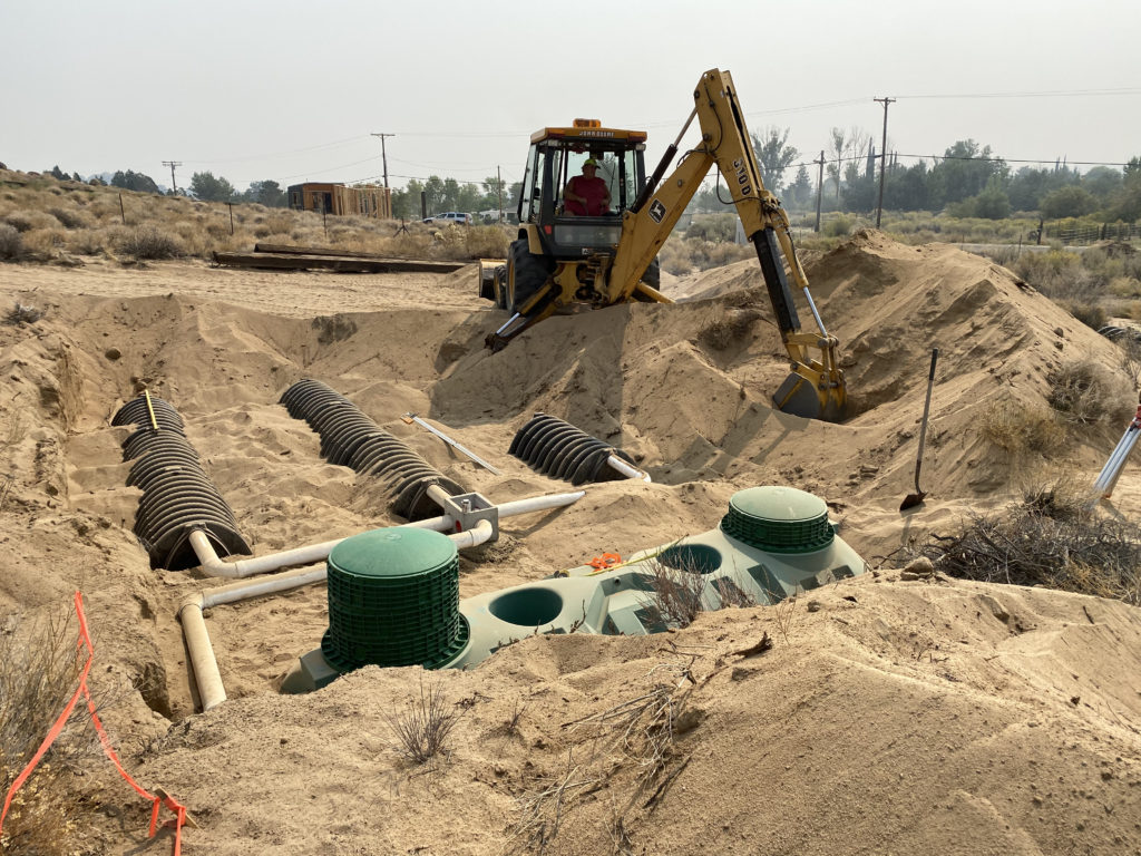
With the tank in place, we had to dig out the leach field and place the pipes and infiltrators in the ground. An infiltrator is basically a plastic arch that is 54″ long. The infiltrators are arranged to form four thirty-foot-long chambers. The sewage flows into one end of the chamber and eventually flow down the length of the chamber. Based on our percolation test, they said we needed 120′ of infiltrators, so I bought four rows of 30′ of infiltrators. The drawing below shows how the sewage pours into each chamber on the left and flow 30′ to the right. I think that it will sink into the sand before flowing more than a few feet away. Thus, most of the leach field will not be used since it will sink into the sand after a few feet.

The water flowed in at the bottom of the green tank and then flowed out of the outlet and to the junction box. The junction box sends the sewage to the four lanes. I could have used one lane of 120′, but that would be a terrible design that would have passed inspection. The pipes had to be slightly downhill to let the sewage flow into the junction box and out into the leach field. The leach field consists of 120′ of infiltrators (not infiltratoes as in the drawing). The solid waste stays in the septic tank and can be pumped out every few years when the tank is full.
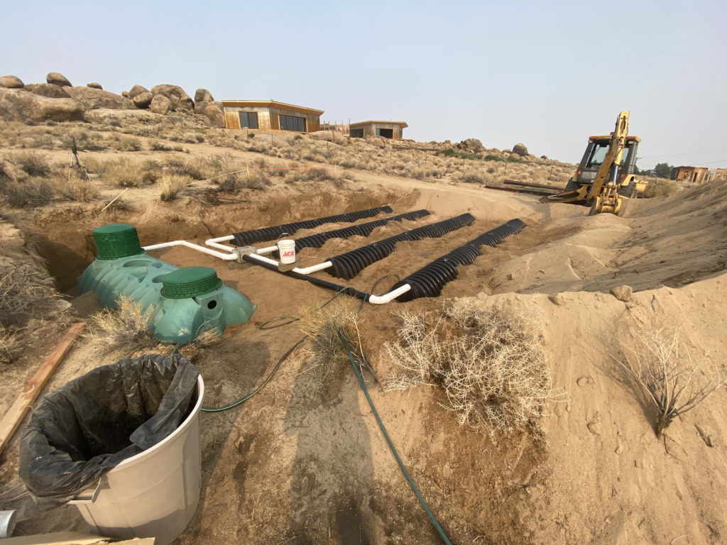
Here’s a picture when the leach field is half in place. The left side of the tank has extensions since the ground is on about a 10% grade. That means the left cap should be about 1′ taller than the downhill cap that is 10′ downhill from the lower cap.

Cricket stayed in the backhoe while I placed each 54″ infiltrator into the leach field. It was hot and dusty work, but I saved a lot of money doing it with Cricket. Cricket does a lot of work like this and knew what he was doing. I think it took us about 8 hours to run all the leach lines. It ended up looking like this at the end of the day after I hosed the dust off the lines.

Here’s another view of all 120′ of infiltrators.

We called Jerry and he came out and approved it with little inspection. Cricket backfilled the leach field with all the sand.

The cost of the septic system was something like this:

Septic tank – $1600

Infiltrators – $1,127

Septic tank lids – $94

Extension caps – $180

Junction Box – $89

PVC Pipe- $160

Miscellaneous and Delivery – $750

Labor – $1,000

Total – $5,000

It only took Cricket and I about 3 days to install the system and cover it up. It’s not bad for a modern-day shit hole.

Why Lone Pine?

People always ask why I bought some land in Lone Pine when I live in Santa Barbara. The main reason is that I want a mountain retreat where I can get away from the hustle and bustle of the city. While SB is amazingly nice, it still is still more hectic than the Alabama Hills of Lone Pine. Lone Pine is amazingly beautiful in a much different way than SB.

Here are the main reasons we chose Lone Pine:

The Sierra and desert come together in the Alabama Hills and are a great contrast to beautiful Santa Barbara with its tropical climate, coastal mountains and ocean. We’ll be living in the country here where horses and cows outnumbering our neighbors.

Lone Pine is much more affordable than Santa Barbara. It’s hard to find anything nice in SB for $800,000, so we should be able to build a custom home for less than half that. The cost of living up here is pretty low too if we bring our own food up.

The scenery is wonderful!

Amy loves taking care of our country home. She has turned the whole property into a very large zen garden that she spends hours working on.

This will mainly be a mountain vacation home. It gets very hot there in July and August and is pretty cold from November to March. Santa Barbara has some of the best weather in the world, so we’ll be in Santa Barbara if we don’t like the weather up here.

Hollywood started coming to the Alabama Hills in the 1920s to film epic westerns. The Western Film History Museum is in Lone Pine and many stars have filmed here from Cary Grant, Humphrey Bogart, John Wayne, Lucille Ball and Hopalong Cassidy.  Many present movies have filmed here like scenes from Iron Man, Gladiator, Transformers, Lone Ranger, Godzilla, Django Unchained and Star Trek. They came here for the scenery and so have I.

See how hundreds of the movies were filmed here.

My neighbor grew up in the house that Hopalong Cassidy was filmed in. The house is on Tuttle Creek about a mile from my land.

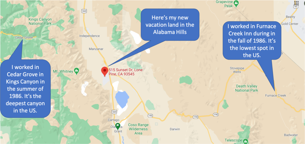
I first came through the area in 1986 when I was looking for a job. I had spent the summer working the snack bar in Sequoia and Kings Canyon National Park which is directly west of Lone Pine. When the season ended in October, I went to Yosemite to look for work, but they were shutting down for the season as well. I went to Mammoth Mountain Ski Resort, but they wouldn’t open until they got some snow. People told me that Death Valley would have some work because they were opening for the winter, so I went through lonely Lone Pine on the way there.

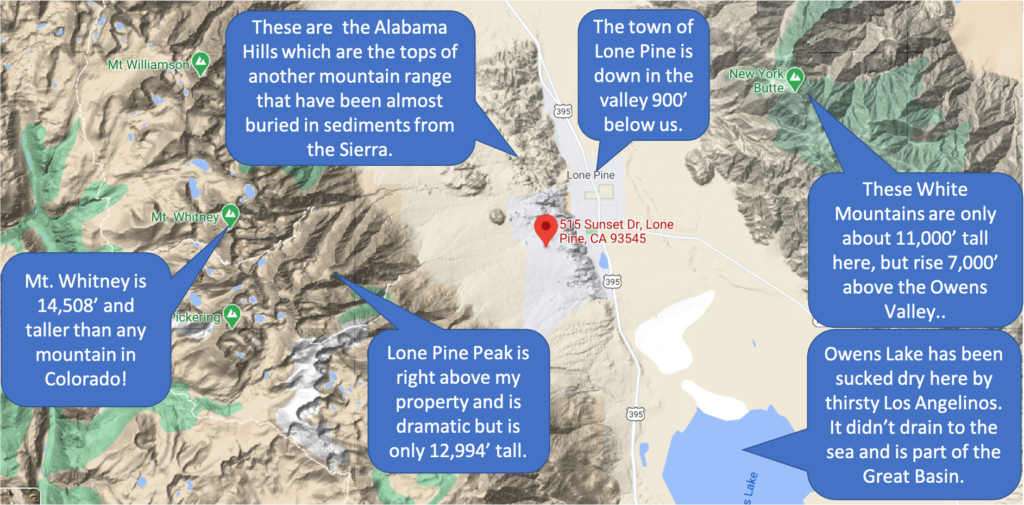
Lone Pine sits basically half way between Kings Canyon and Death Valley, the first two places I worked in California. Lone Pine is a remote town of only 2,000 people, and grew from 1,655 people in 2000. Most of the people in Lone Pine live near highway 395. We live a few miles from downtown Lone Pine and about 900′ higher in the Alabama Hills.

Lone Pine sits between the High Sierra and the low deserts. Sequoia and Kings Canyon National Parks are directly West while the Mojave Desert and Death Valley are immediately below us to the East. The Owens Valley is part of the Great Basin that stretches into Nevada. It’s waters do not drain into any ocean and form salt flats.

Lone Pine sits at about 3,700’ in  the Owens Valley – the deepest valley in America. This rift valley is hemmed in by Sierra Nevada fourteeners to the west and the White Mountain with their own fourteeners to the northeast. From the tops of these 14ers, the valley floor sits 10,000′ below. To the south and east of Lone Pine is the Mojave desert which contains Death Valley. From the dry valley floor to the highest mountains of the Sierra, Lone Pine is the gateway to many outdoor activities.

Many people from LA drive through Lone Pine on their way to Mammoth Mountain ski resort or other areas north like Yosemite. The main attraction in Lone Pine is Mt. Whitney – the tallest mountain in the lower 48. Taller than any peak in Colorado, Whitney does not look particularly tall compared to other mountains in the area because it is a little farther east. Still, the beauty of Mt. Whitney and all its friends is right in our face on the property

At 12,944’, Lone Pine Peak looks taller than Mt. Whitney because it is several miles east and closer to the valley floor. The 3,000’ tall south face of Lone Pine Peak is the tallest wall of granite outside of Yosemite Valley. The gray, granite face of Lone Pine Peak is the spitting images of Half Dome or El Capitan that is only about 100 miles northwest as the crow flies.

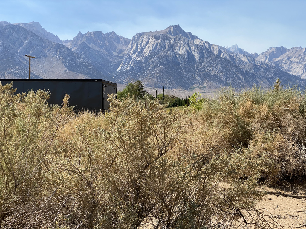
Lone Pine Peak is the flat topped mountain in the middle of this picture. The hazy mountain to the right of it is Mt. Whitney at 14,501′. Lone Pine Peak isn’t even 13,000′, but the granite walls on the left are only surpassed by Half Dome and El Capitan in Yosemite Valley. This sage brush is on my property and houses many California Quail.

Another Lone Pine oddity and attraction are the Alabama Hills – a collection of boulders and hills between Lone Pine and Mount Whitney. The Alabama Hills are made of the same granite as the Sierra, but these mountain tops have been eroded in a different way. The Alabama boulders and hills form precarious, interesting shapes that have rounded edges that contrast the sharp edges of the Sierra.

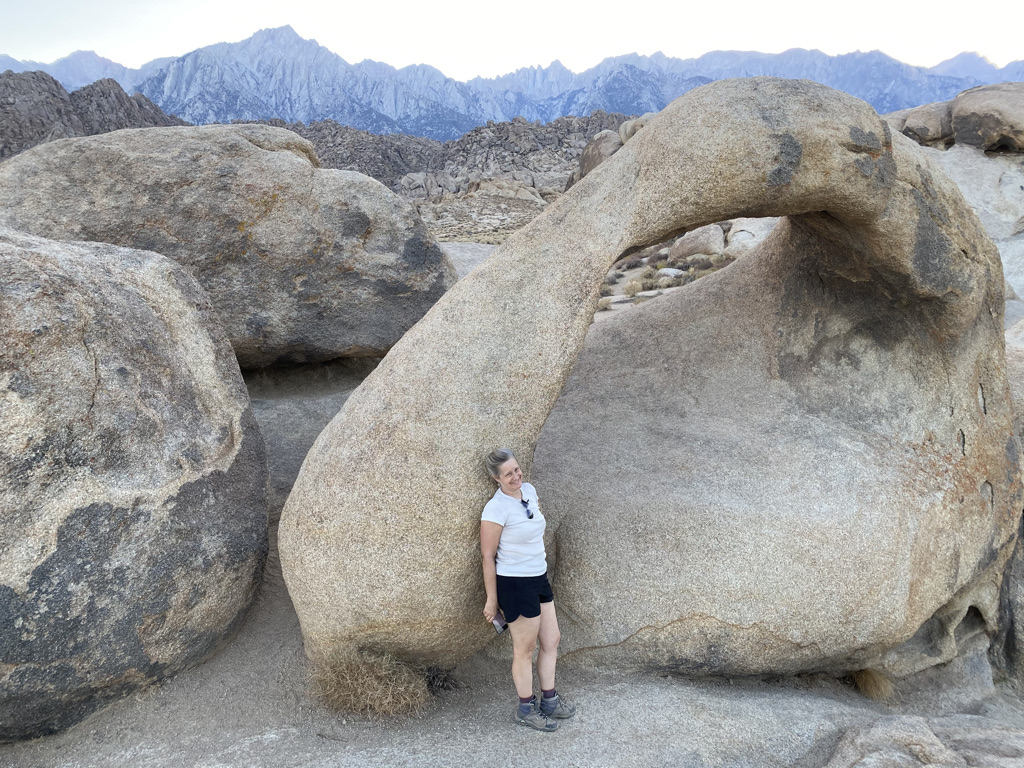
This is Mobius Arch in the Alabama Hills National Scenic Area. This arch is about 5 miles from our land.

The boulders are rounded because they are eroded by spheroidal weathering. This chemical weathering pattern is also known as onion skin weathering, spherical weathering and woolsack weathering. Onion skin weathering is the easiest way for me to visualize the boulders because layers of rock often peel off and form rounded boxes, alcoves, arches and interesting, repeating patterns. The rocks are extraordinary and ended up being the reason why we bought property in the Alabama Hills.

I’ve been looking for homes in the area around Lone Pine, Olancha and even as far away as Kennedy Meadows for decades. The high desert land is much cheaper away from coastal California because it is fairly remote at about 200 miles from Los Angeles. Lone Pine offers a few restaurants, a market, repair shops and a hospital. Lone Pine mainly offers solitude and stunning views, so I bought into it.

Fall 2020 Work

Amy and I spent last October on the Bird house property in Lone Pine to make some major improvements. The main goal was to get the huge RV on site. To get there, we first had to:

  1. Fix the well – The water pipe coming out of the well had burst and gushed out of the ground prodigiously. We also needed to upgrade the water system.
  2. Install a septic system – This required a permit and a lot of digging from Cricket.
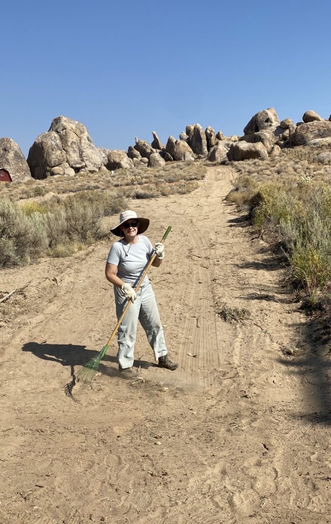
  3. Scrape a road out of the sage brush. Besides scraping sage brush away, we had to harden the sand with a vibrating plate.
  4. Get Internet access. This was pretty easy and just took one day.
  5. Get the RV in place. This was much more difficult than I thought, but we got it there with a little help from Miller Towing.

The Well

One of the unique things about the land at Lone Pine is that it is in the high desert where cactus die and sagebrush barely get by. What is cool about the area is that it has a lot of water flowing right under the ground and I can pump it out for free. The High Sierra catch a lot of water that pours down many creeks that run right near our house. The water table is usually about eight feet underground at the bottom of our property and even goes above ground in the spring.

When I left the property last July, the main pipe from the well broke and it was pumping over 60 gallons a minute out on to the ground. It was bubbling up and eroding the sand away. The pipe had to be fixed and then I needed filters, a tank and a pump to push the water up to the top of the property.

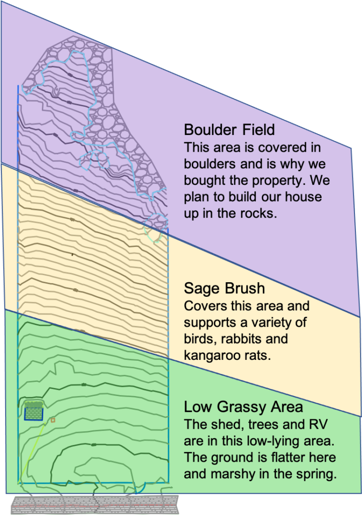
Our property can be broken up into three area as seen in the next drawing. The top third is all boulders. The middle third is all sage brush and cactus. The lower third is close to Diaz creek and has enough water to support grass. The well sits on the bottom third of the property and is probably 100′ deep, but we don’t know how deep it really is. The shed did house a pressure tank and water heater, but it didn’t have a water storage tank, filter or secondary water pump. I decided to have Will, my do-it-all handyman, build a pump house to his specifications. He maintains it for me as well, so I wanted him to be responsible for the design.

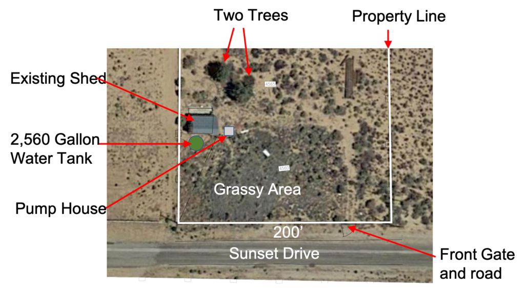
This image divides the property into three sections. The upper section is full of boulders. The middle section is an alluvial plane and you can see how the 1′ topographical lines are very evenly spaced. The lower third of the land is where the water is. The well is shown by the brown square next to the shed.

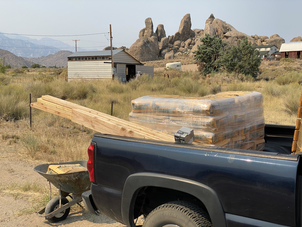
My neighbor Joost showed me his pump house with a series of filters and a second pump to push the water up to the top of the property where we will eventually build our home. I asked Will to duplicate the design so that we’ll have good water. Amy helped me design the 6′ x 8′ pump house building to match the shed. The first thing we had to do was lay a concrete foundation. I got a pallet of concrete from Home Depot in Ridgecrest and Will borrowed a mixer from a neighbor.

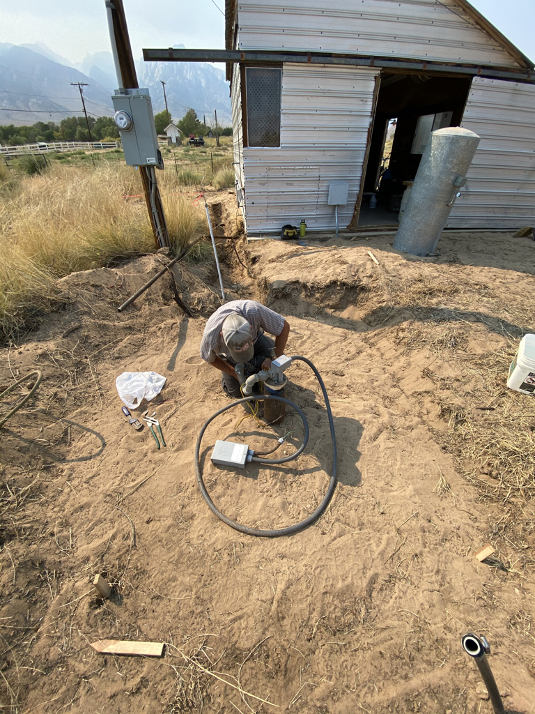
The well comes out of the ground through a four inch diameter pipe. The wires to drive the submersible pump are coiled on the ground. Will is working with the 1 1/2″ pipe coming from the pump. The pressure tank is sitting in front of the shed and will be placed in the pump house. The two stakes in the foreground show are about 6′ apart and show one side of the shed.
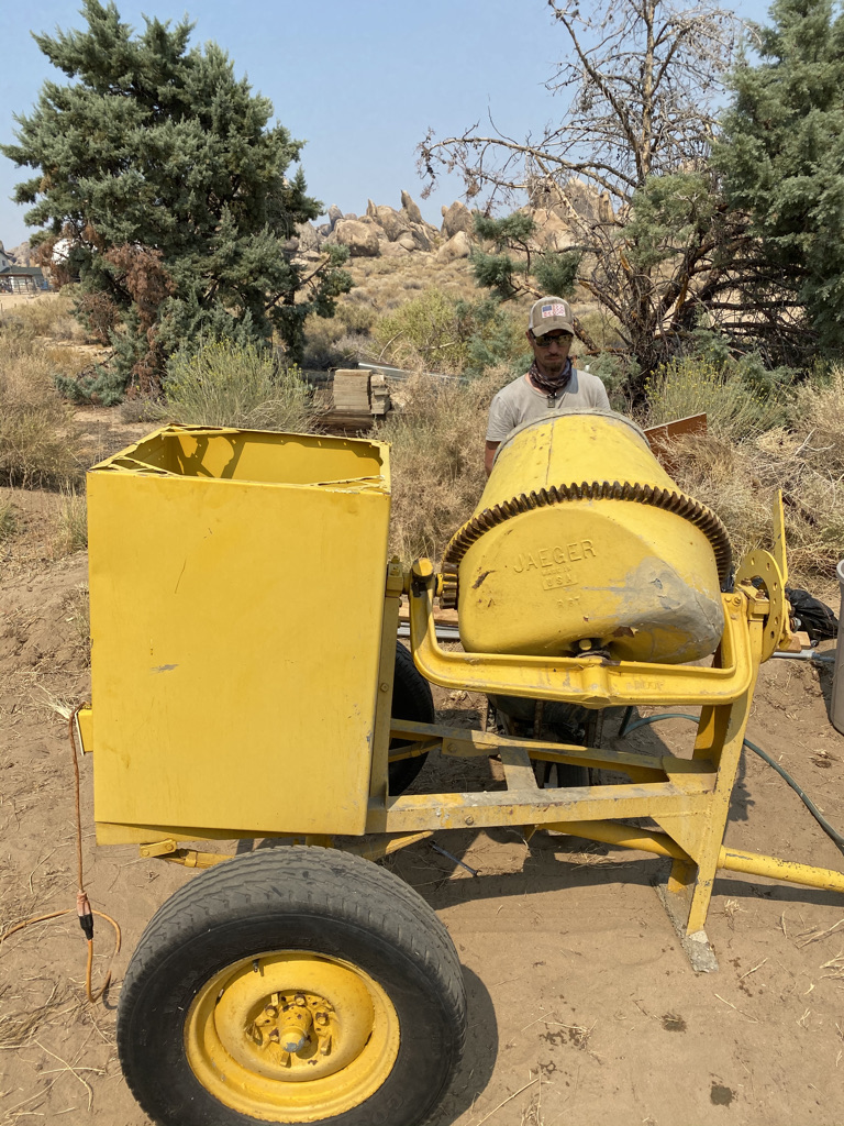
Will borrowed this mixer from our neighbor for free. He towed it with Joost’s jeep.
I got a whole pallet of concrete and the things to build the pump house.
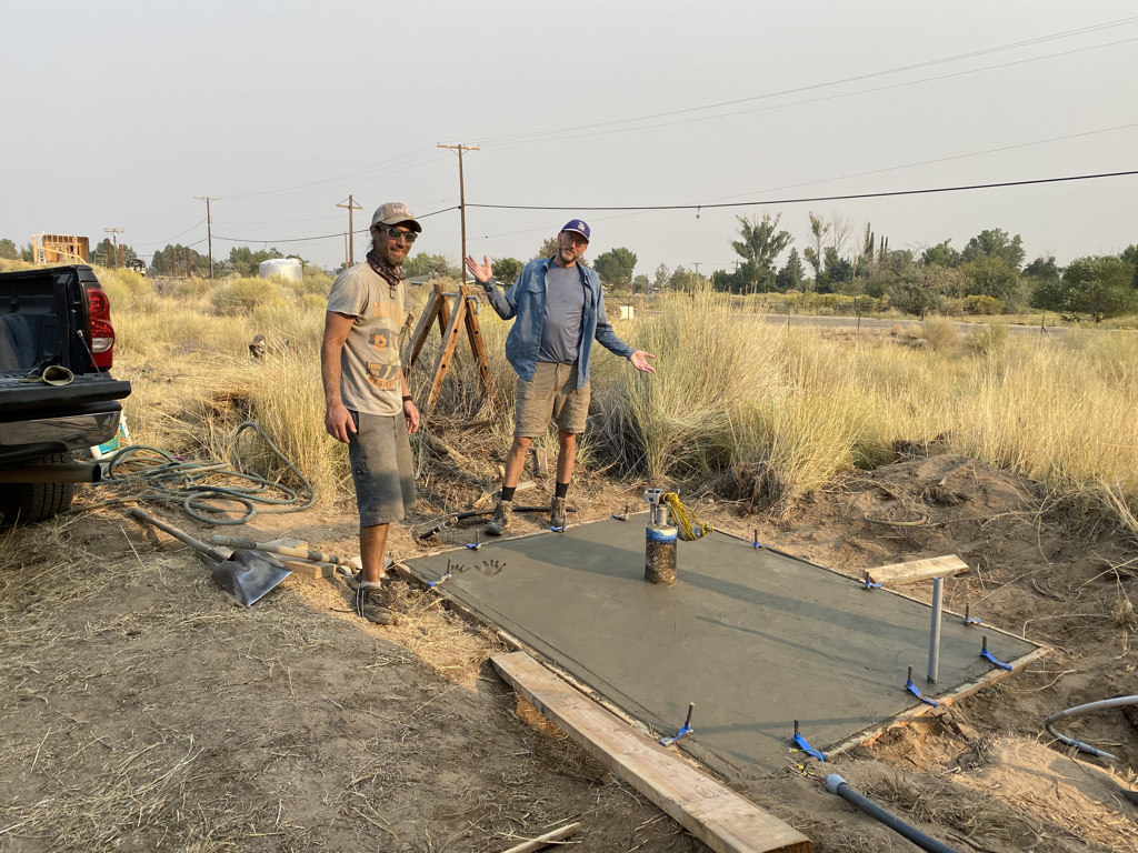
Will set up the foundation and we started pouring a ton of concrete for the foundation of the pump house. The wide angle lens of my camera makes the shed look really tall.
Will and I finished the concrete in one afternoon. Amy and I put our hand prints in the corner by Will’s feet. My father’s been pouring concrete like this for decades.
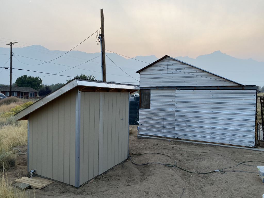
Here’s the finished pump house. Amy has some plans to spruce it up a bit. To the lower left of the pump house is the line to my three irrigation lines to feed my gardens. The aluminum sliding door on the shed works again. The green water tank can be seen between the shed and the pump house.
Here’s the aerial view of the bottom third of the property. The road is much more distinct now after Cricket scraped it with his tractor.
Here’s the delivery truck coming from the hardware store with our two tanks.
That 2,560 gallon tank is easy to move, but we couldn’t agree on where it should go..

With the pump house in place, we needed the water tank and pipes for it. Will was doing all the stuff for the pump house while I was working on the septic tank with Cricket. I ordered all the stuff at the same time from the True Value Hardware store in Inyo-Kern. Herb runs the store and they didn’t wear masks there, but they got me fixed up.

They just rolled the 1,250 gallon, septic tank off the truck and the water tank was next.

The tank cost $1,200 and the fittings, pump and filter were probably another $1,000. Another $500 was spent on the concrete and wood, siding and insulation for the pump house. Then Will spent about 50 hours on the house and system for $1,000 in labor. So, I probably spent about $4,000 for the full water system that pumps water all the way up to the top of the property.

I’ll write about the exciting septic system in the next post.

Bought Land In Lone Pine

I’ve finally found a place where Amy and I can and want to build a home. It’s in the Alabama Hills below Mount Whitney in the high desert of the Eastern Sierra. Hollywood and I fell in love with this area because of the expansive views of the Eastern Sierra and the unusual boulders in the area. The rounded and peculiar boulders of the Alabama Hills give a good foreground for camera shots while the high Sierra rise 10,000 feet above this chunk of high desert.

We closed on the 2.68 acre lot today and paid $165,000 for it. We could have bought 5 acres nearby for $125,000, but it didn’t have the boulders and views that we now own. Amy is designing a beautiful home and we will start showing various professionals the plans soon. It will probably take us over a year to build our beautiful mountain home nestled in the boulders. The monumental challenge of building a home has scared me more than anything in a long time, but we’re committed to do it.  Check out these pictures to know why.

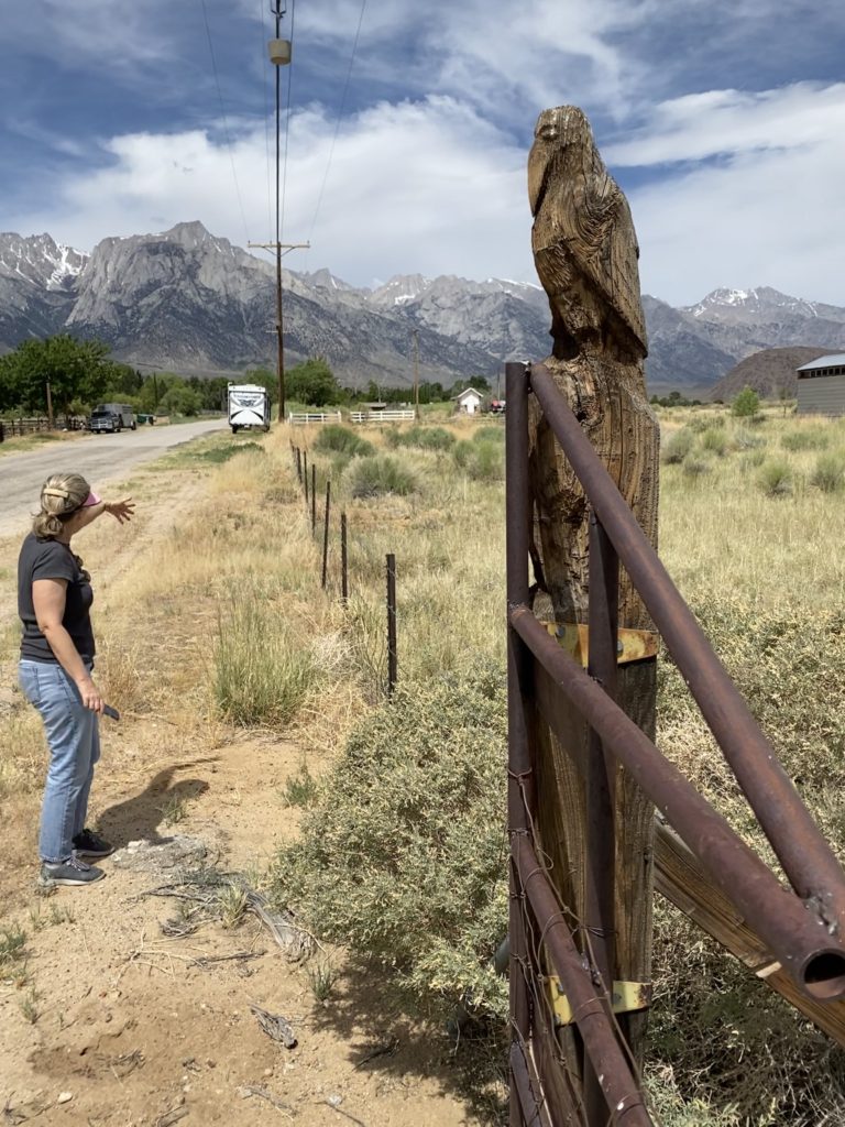
This is the front gate of the property. The previous owner was a wood carver and carved this cool old bird – probably a raven. This bird and two rocks give the property its name of the Bird House.
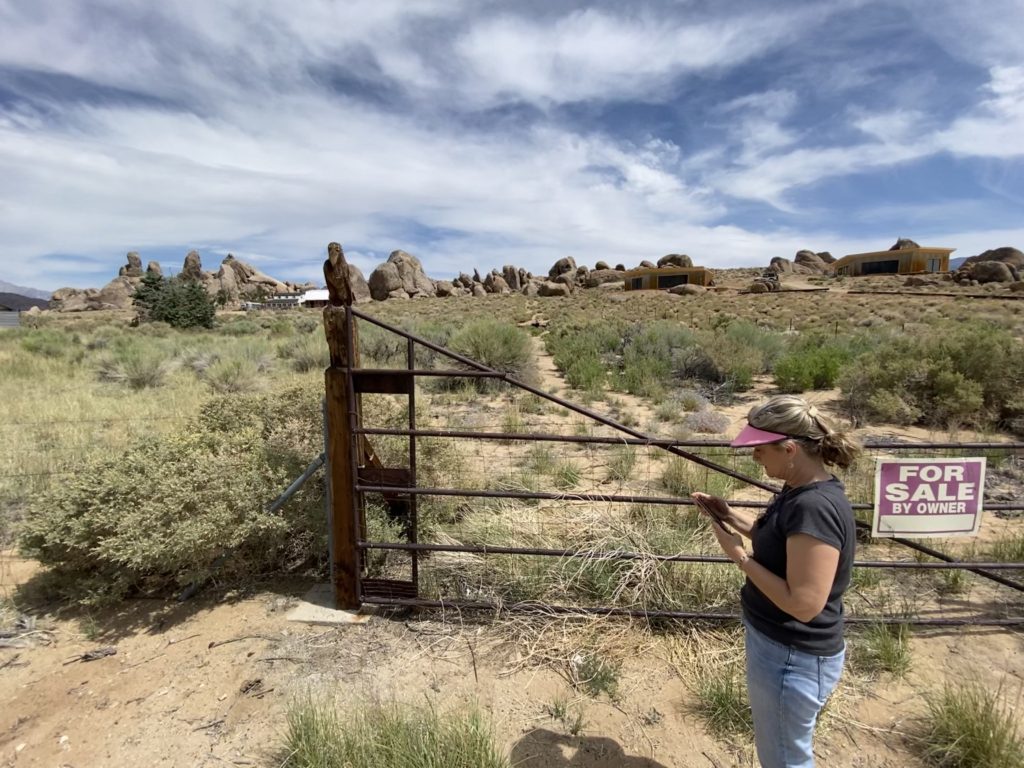
The FSBO sign didn’t have any contact information on it, so I had to call the county to find the owner. You can barely make out a road going up to the rocks – a clearing in the sage brush to the left of Amy. Our neighbor Joost’s property is on the right with two new homes and Gill’s barn is right to the left of the bird totem.
Here’s the first draft of the layout of our house in the boulders. Amy is in the Master bedroom and there will be decks all around the property. Decks to the right and in front of the property will have amazing panoramic views while decks in the back will have serene views of the boulders.
Here’s a video I made by pointing my phone at Google Maps and walking around the property.

Why Lone Pine?

Here are the main reasons we chose Lone Pine:

It’s a much different landscape than Santa Barbara. The Sierra and desert are a great contrast to beautiful Santa Barbara with its coastal mountains and ocean. We’ll be living in the country here with horses and cows outnumbering our neighbors.

It’s much more affordable than Santa Barbara. It’s hard to find anything nice in SB for $800k, so we should be able to build a custom home for less than half that. The cost of living up here is pretty low too.

The scenery is wonderful!

This will mainly be a mountain vacation home. It gets very hot there in July and August and is pretty cold from November to March. Santa Barbara has some of the best weather in the world, so we’ll be in Santa Barbara if we don’t like the weather up here.

Hollywood started coming to the Alabama Hills in the 1920s to film epic westerns. The Western Film History Museum is in Lone Pine and many stars have filmed here from Cary Grant, Humphrey Bogart, John Wayne, Lucille Ball and Hopalong Cassidy.  Many present movies have filmed here like scenes from Iron Man, Gladiator, Transformers, Lone Ranger, Godzilla, Django Unchained and Star Trek. They came here for the scenery and so have I.

See how hundreds of the movies were filmed here:

https://.en.wikipedia.org/wiki/List_of_films_shot_in_Lone_Pine

I first came through the area in 1986 when I was looking for a job. I had spent the summer working the snack bar in Sequoia and Kings Canyon National Park which is directly west of Lone Pine. When the season ended in October, I went to Yosemite to look for work, but they were shutting down for the season as well. I went to Mammoth Mountain Ski Resort, but they wouldn’t open until they got some snow. People told me that Death Valley would have some work because they were opening for the winter, so I went through lonely Lone Pine on the way there. Lone Pine sits basically half way between Kings Canyon and Death Valley, the first two places I worked in California. Lone Pine is a remote town of only 2,000 people, and grew from 1,655 people in 2000.

Lone Pine sits at about 3,700’ in  the Owens Valley – the deepest valley in America. This rift valley is hemmed in by Sierra Nevada fourteeners to the west and the White Mountain with their own fourteeners to the northeast. To the south and east is the Mojave desert which contains Death Valley. From the dry valley floor to the highest mountains of the Sierra, Lone Pine is the gateway to many outdoor activities.

Many people from LA drive through Lone Pine on their way to Mammoth Mountain ski resort or other areas north like Yosemite. The main attraction in Lone Pine is Mt. Whitney – the tallest mountain in the lower 48. Taller than any peak in Colorado, Whitney does not look particularly tall compared to other mountains in the area because it is a little farther east. Still, the beauty of Mt. Whitney and all its friends is right in our face on the property

At 12,944’, Lone Pine Peak looks taller than Mt. Whitney because it is several miles east and closer to the valley floor. The 3,000’ tall south face of Lone Pine Peak is the tallest wall of granite outside of Yosemite Valley. The gray, granite face of Lone Pine Peak is the spitting images of Half Dome or El Capitan that is only about 100 miles northwest as the crow flies.

Another Lone Pine oddity and attraction are the Alabama Hills – a collection of boulders and hills between Lone Pine and Mount Whitney. The Alabama Hills are made of the same granite as the Sierra, but these mountain tops have been eroded in a different way. The Alabama boulders and hills form precarious, interesting shapes that have rounded edges that contrast the sharp edges of the Sierra.

The boulders are rounded because they are eroded by spheroidal weathering. This chemical weathering pattern is also known as onion skin weathering, spherical weathering and woolsack weathering. Onion skin weathering is the easiest way for me to visualize the boulders because layers of rock often peel off and form rounded boxes, alcoves, arches and interesting, repeating patterns. The rocks are extraordinary and ended up being the reason why we bought property in the Alabama Hills.

I’ve been looking for homes in the area around Lone Pine, Olancha and even as far away as Kennedy Meadows for decades. The high desert land is much cheaper away from coastal California because it is fairly remote at about 200 miles from Los Angeles. Lone Pine offers a few restaurants, a market, repair shops and a hospital. Lone Pine mainly offers solitude and stunning views, so I bought into it.

Day 4 to Sespe Hot Springs: Bountiful Flowers and Lizards

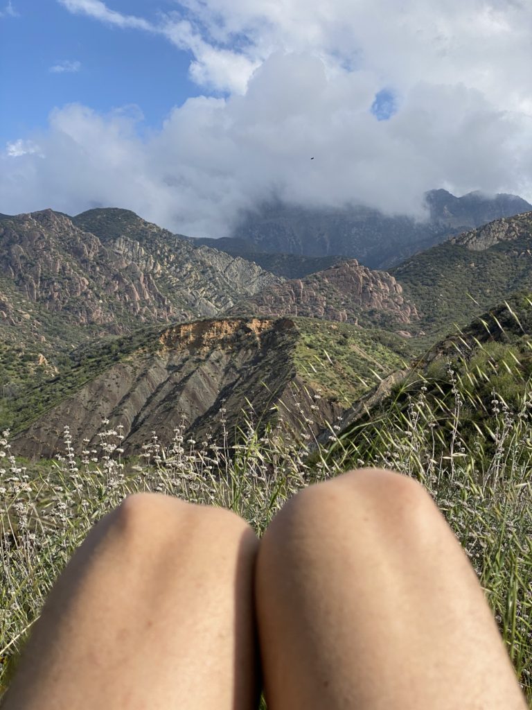
I thought I might not have much to say about my final day hiking out, but then I looked at my photos and footage and knew I had a few things to show you. I was able to capture some lizard escorts and river crossings that came out great. See for yourself in this video.

I started the day getting up early after going to bed early. I was up with the sun and did some Qi Gong exercises. Qi is a Chinese concept of energy or vital energy while Gong means cultivation or mastery. So Qi Gong means cultivation and mastery of vital energy. In the video above, I do a couple minute routine where I breathe in and expand and breathe out and contract. It’s a simple process where I breathe in and move out and breathe out and contract in. I’ve written more about it here.

I hit the road pretty early for me at about 7:30. I wanted to get home and see Amy. I’d been texting her via my satellite transponder, but it’s not nearly the same as being there. It didn’t take long for me to get into the spirit of the trail. The shadows were out and the flowers were in full bloom on this spring day. It’s hard to capture the mood of a spring morning, but it was exhilirating!

Check out some of these pics:

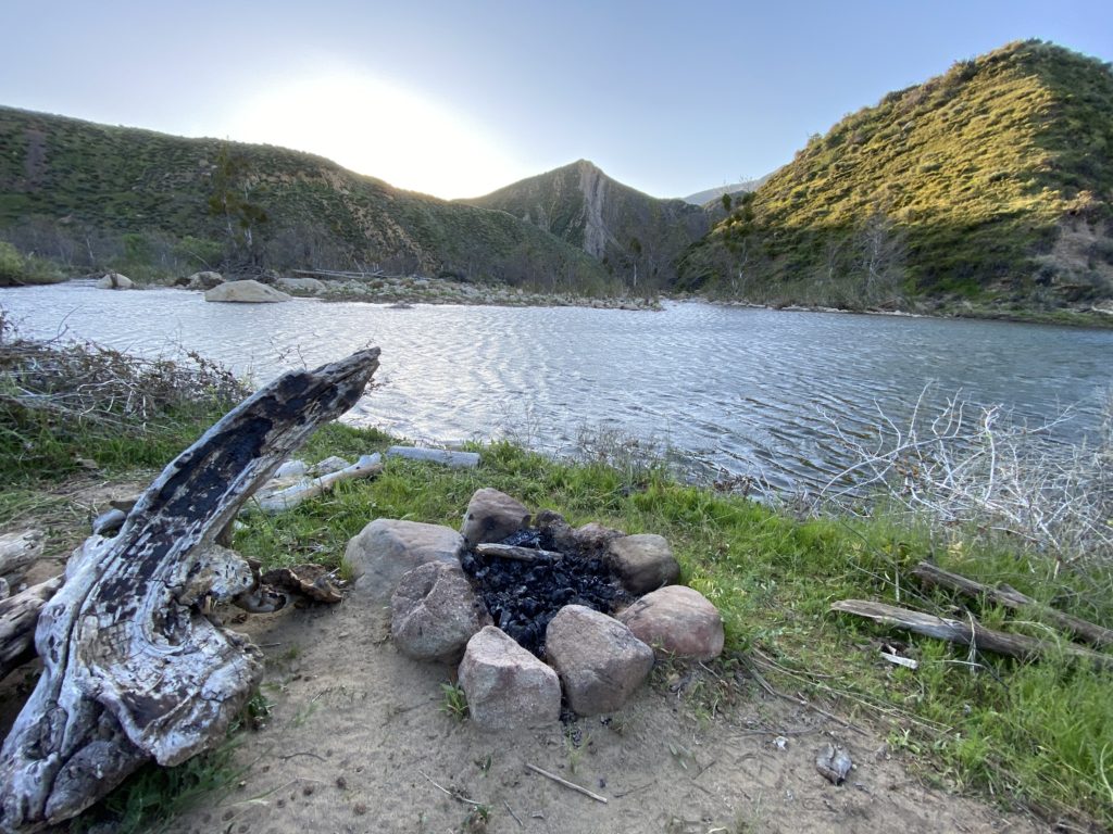
Sunrise in my camp on the river.
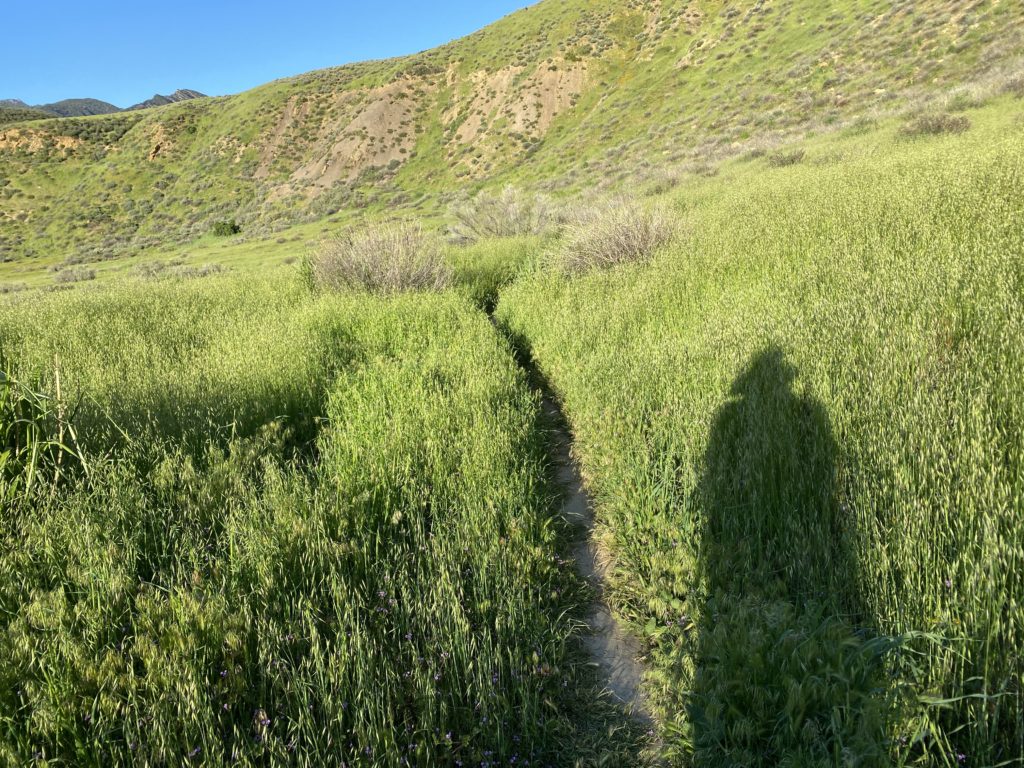
Long shadows in the early morning.
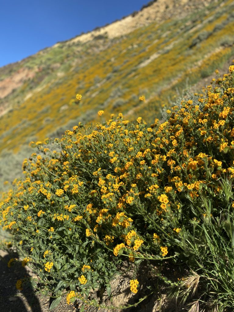
A nice portrait mode shot of the prolific yellow flowers.
Golden rivers.
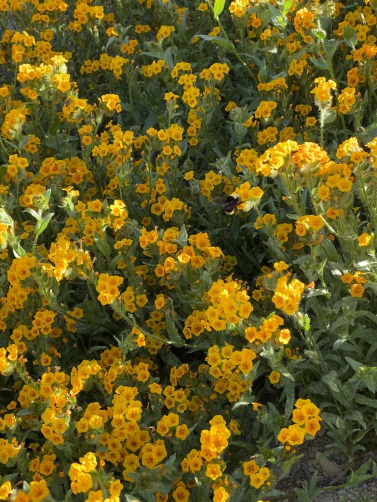
Bumblebee heaven!
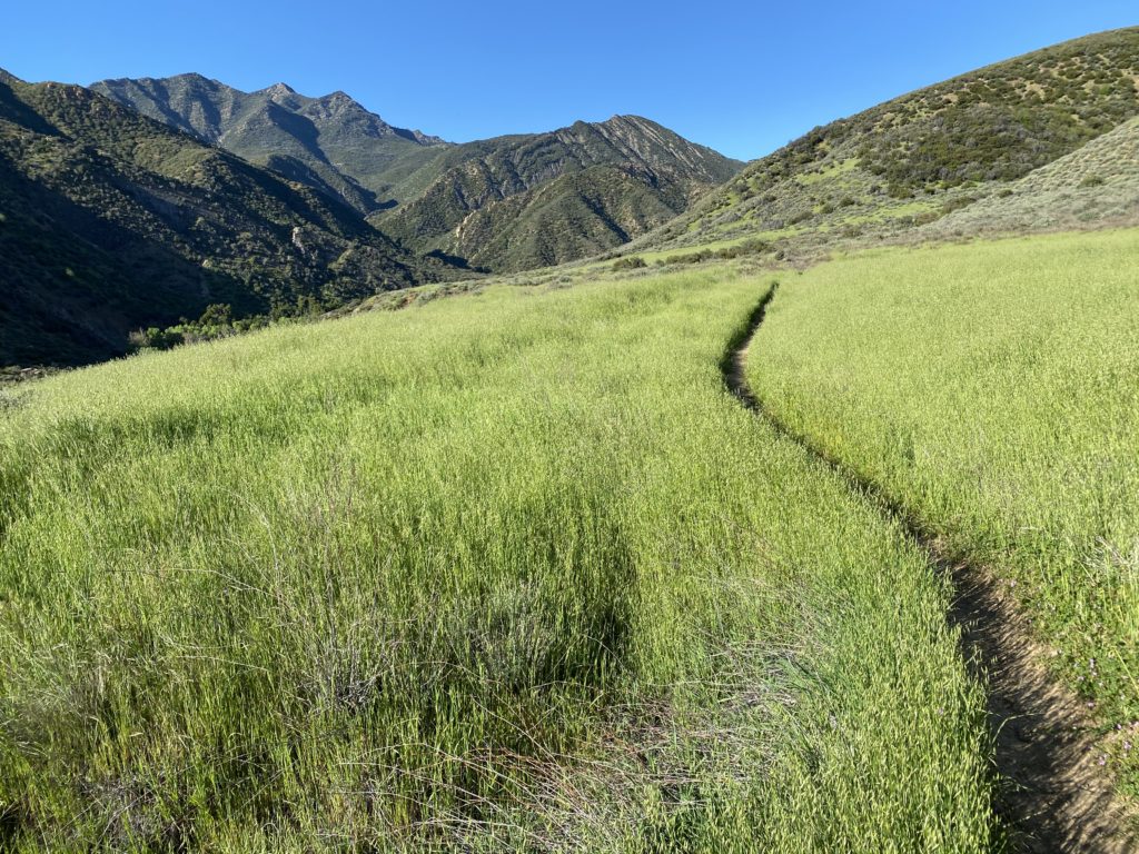
More winding paths.
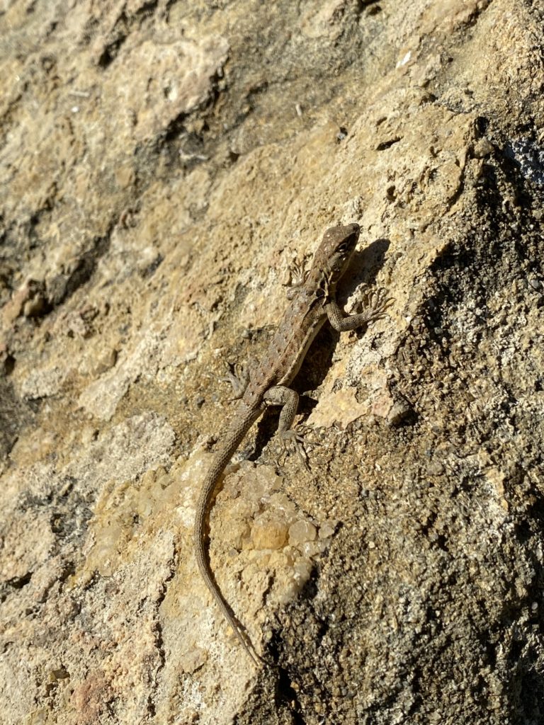
Those long claws work well on the rocks.
The lone hiker.
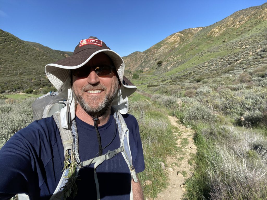
Happy camper.
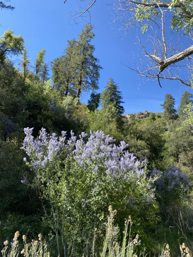
Ceanothus in bloom with some Douglas Firs in the background.
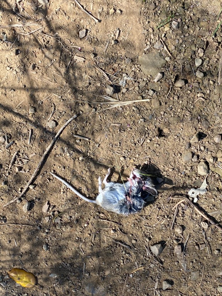
I don’t know what happened to this little guy.

In the end, I hiked over 30 miles in 4 days. That might not sound like much, but with the river crossings and soggy boots for two days, it felt like just the right amount. I came off the trail invigorated and feeling good. I hope you have a chance to get out and feel some of the power of nature.

Day 3 to Sespe Hot Springs: Rattle Snakes and Horny Toads

I woke up on day three with little rest from the windstorm. I was tired as I walked out of camp, but the rattle snake I’d seen the day before woke me up. The rattler was headed toward the group of four Millenials in the campground, so I wanted to stop it in its track. I zoomed in with my iPhone and captured him relaxing in the grass until I got too close. Then he coiled up and started rattling. I made him retreat to the cactus, but he decided to go down into a deep hole. Quite a few ground squirrels live in the area, so he might have wanted an early lunch.

Here’s a video capture of the snake as he started to coil up. He had at least 11 rattles and was over 4′ long.

I can remember every time I’ve been rattled, it’s something I can’t forget:

  1. 1986 – Kings Canyon National Park when I was scrambling up a rock slide and it rattled right in my face. I couldn’t run away and it slid into the rocks before I did anything.
  2. 1992 – Buckhorn Road above Santa Barbara when I was riding a bike. I stopped and took his picture. I was impressed that he wouldn’t strike a stick that I poked at him. He knew the difference between my flesh and a stick.
  3. 2005 – Colorado Hills Open Space across near my house in Westminster, CO. I killed that rattler since a lot of hikers and dogs were out there. I threw rocks at it until I crushed it to death.
  4. April 21, 2020 – This rattler on the way into camp.
  5. April 22, 2020 – This rattler on the way out of camp.
  6. April 28, 2020 – Another rattler on the trail near Nira Campground. I walked right by it and then it jumped down on the trail in front of Amy rattling both of us. She ran down the trail and it scared her pretty good, but she did hike on.

I don’t like this trend. I hadn’t been rattled in 15 years and now three times in the last week. I hadn’t thought of rattlers in a while until my nephew Corey sent me a pic of a big one he just saw and heard. He said he’s been rattled 7 times in the last few months near Phoenix. I’m not in a competition with him and I hope neither of us see anymore.

After that, I ran into some horny toads and some frogs on an 8 mile hike. I crossed the streams multiple times, but took my boots off to cross in my light camp shoes. After the snake, it was an uneventful day of walking peacefully along the river. I could have spent the night at Willett hot springs, but I decided to have a peaceful night on the water by myself.
I set up camp in front of a lake on the river and sat back and watched the river and wildlife go by. It was very relaxing and I watched a mallard search for food on at least a half an hour. Bats and swifts flew by and ate many insects. Then the frogs came out to serenade me to sleep.

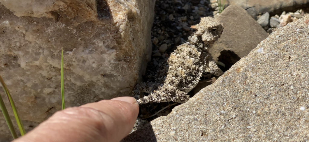
This little horny toad wouldn’t move until I poked him.
Ready to strike.
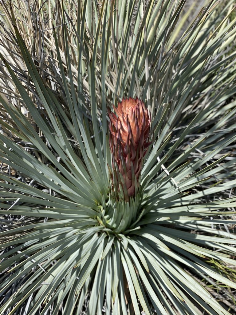
These succulents sprout flowers after a few years.
I haven’t seen these plants before.
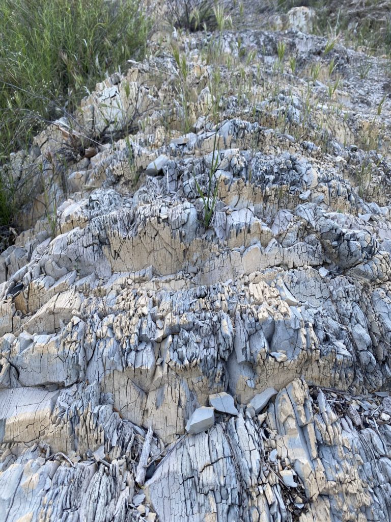
Some interesting shale.
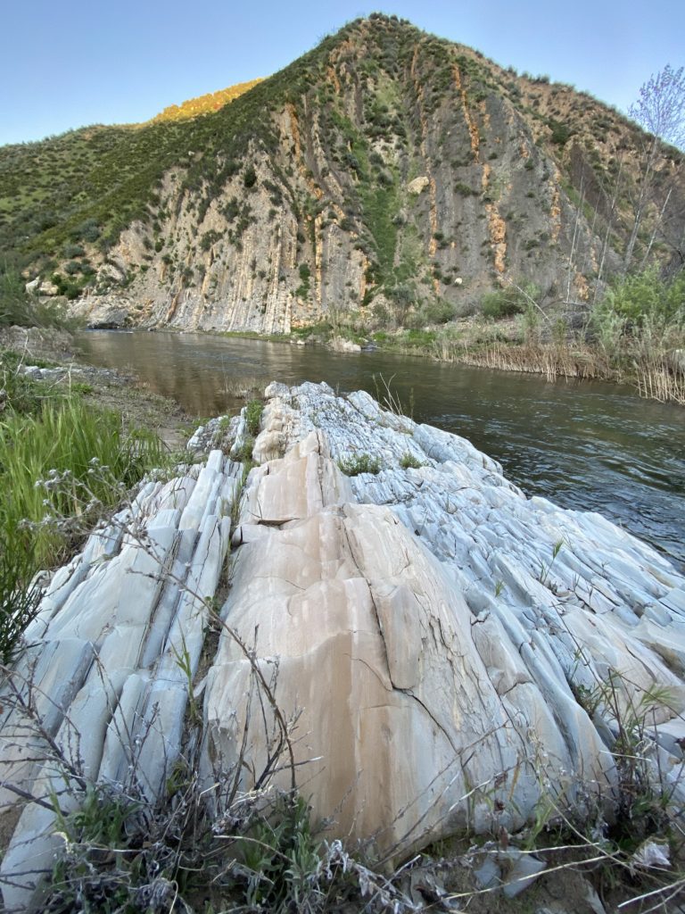
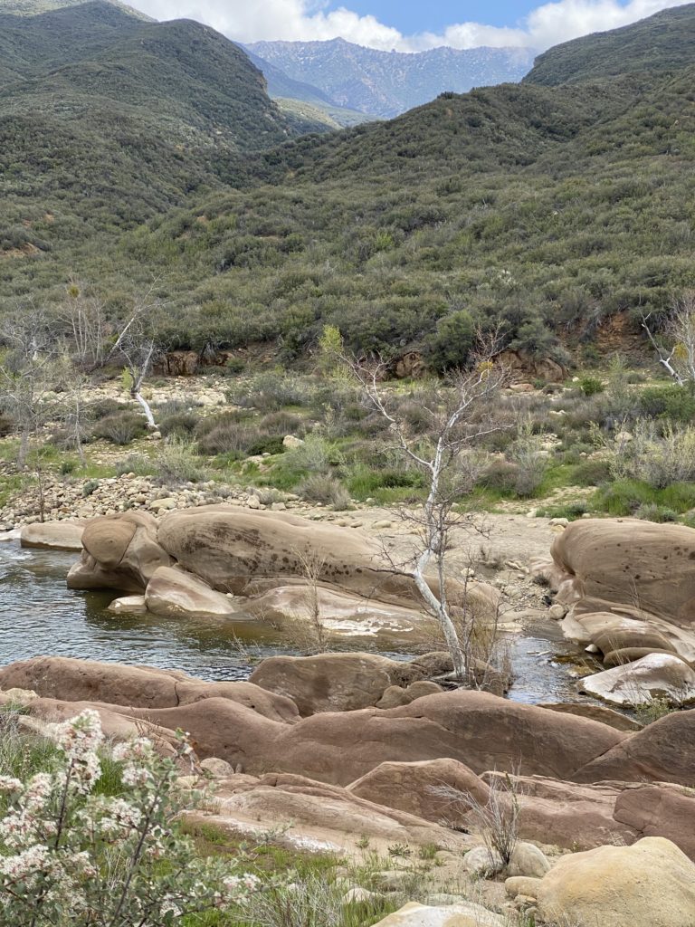
The Sespe River made easy work of carving through this sedimentary rock.

Day 2 To Sespe Hot Springs: Rattle Snakes, Big Horn Sheep and Sleeping Under the Stars

Day 2 started when a young Marine named Conrad walked near my camp while going to get some water. He said he’d been coming here for years and would like me to see his camp. Another solo camper and Eagle Scout named Cooper wanted to see the camp too, so we toured it together. I’d shared Cooper’s fire the night before and he was going to outdoor schools to learn to be a mountain guide. We kept our six foot distance at all times to avoid the coronavirus.

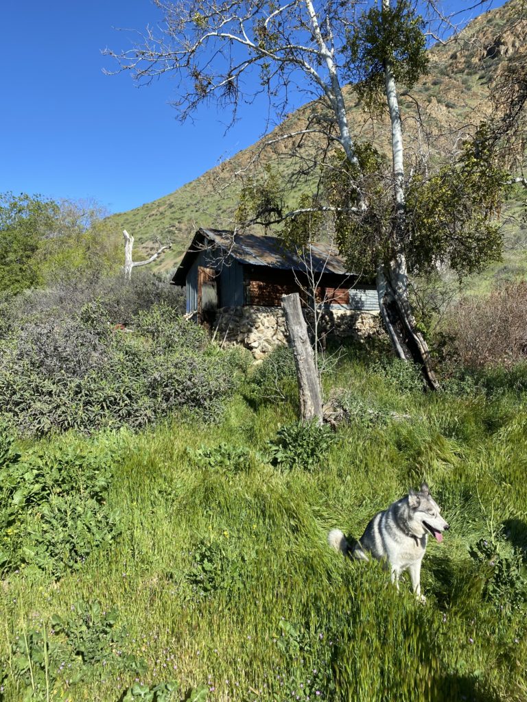
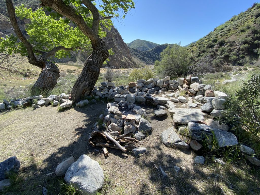
Conrad and his husky showed us around the old camp. The camp used to be used to be a base for hunting and fishing on the road to Sespe Hot Springs. Conrad and his girlfriend, who was exhausted and sleeping, were in the main cabin that had a bunkhouse. He showed us several other cabins, a vault and areas where hunters used to dress game.

Conrad’s husky was on a long leash attached to the cabin. Multiple buildings were still being used in Willet Hot Spring camp and a 2,000 sq ft foundation of a burnt down building was still there.
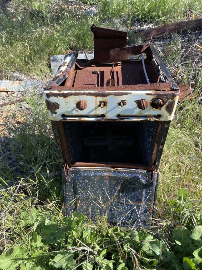
This stove had seen better days.

After the tour, I tried to pack my backpack and the side of my pack ripped out. I’d torn the backpack climbing through blown down trees on the previous trip and now the whole side panel ripped out. I could have tried to repair it with duct tape, but I just packed it so that nothing would fall out.

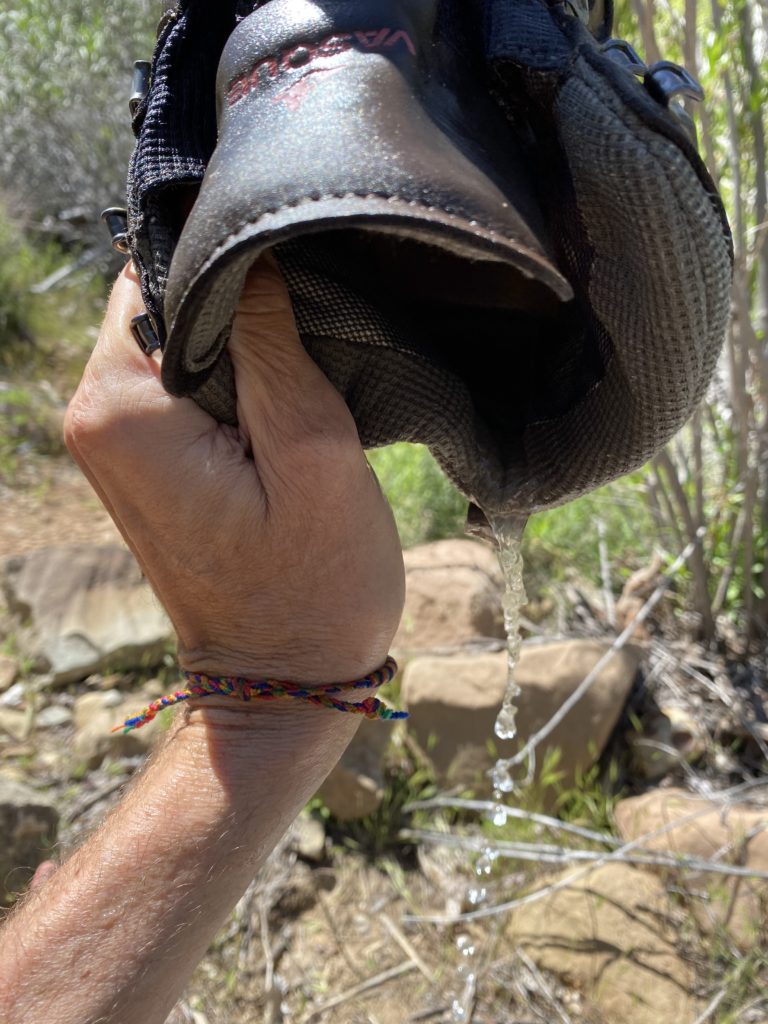
My boots weren’t dry from the day before, so I just kept trudging through the river crossings. I had to stop and drain my boots quite a few times with six river crossings in six miles. I just read that six Boy Scouts drowned on this river in 1969. I used my patented three legged down down to drain my boot to little avail.
Pouring water out of my book for the tenth time.

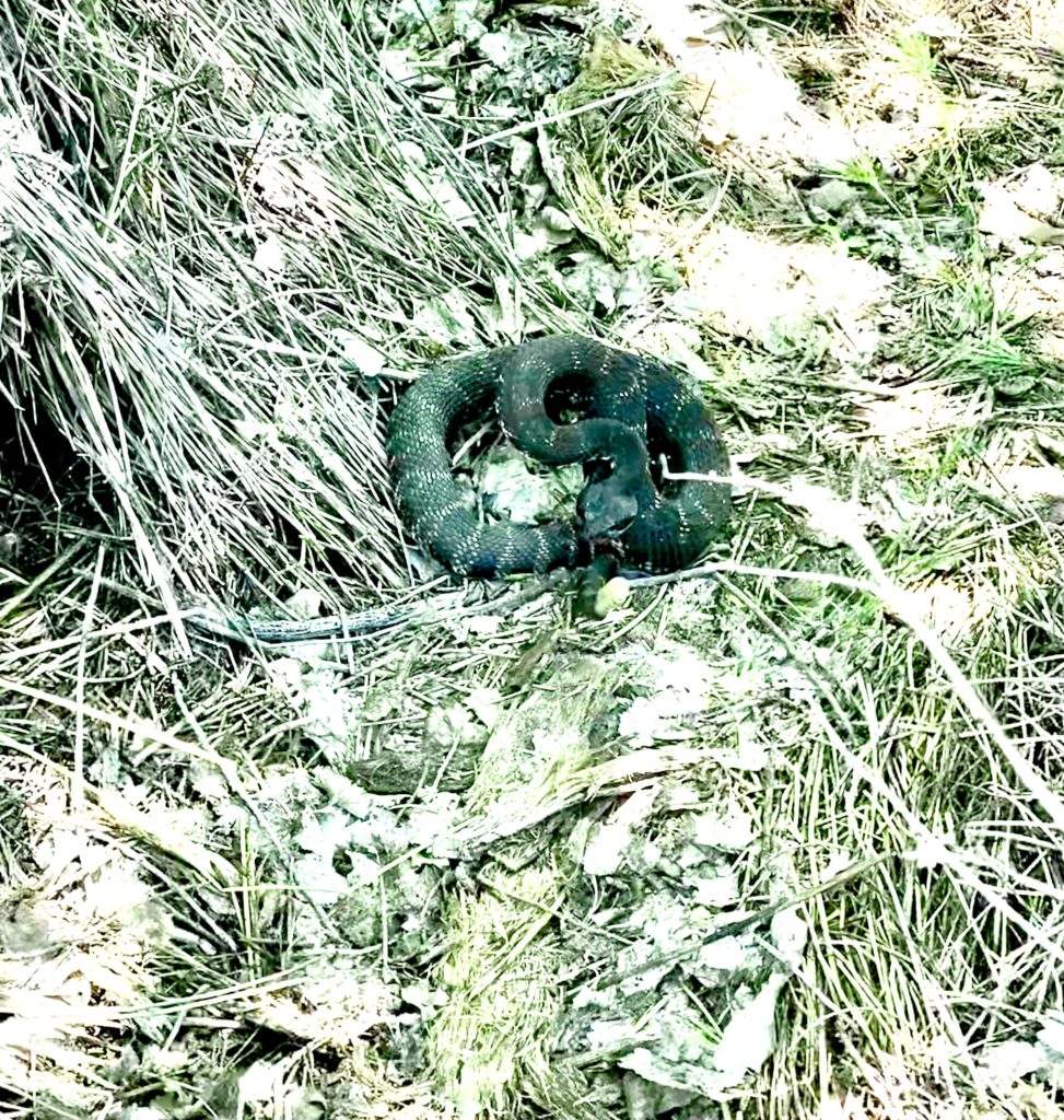
When I got near camp, the trail was overgrown and I walked into an overgrown section that fork. While I was deciding which fork to take, I heard the dreaded rattle of a rattlesnake. Hiking alone has it’s challenges, but getting bit by a poisonous snake is very painful. I did have my satellite texting device, but it could be a $100,000 bill if I had to get evacuated by a helicopter from this remote location. I’ve been rattled before and it’s usually so loud that I’ve know right where it was coming from. This rattle was kind of quiet though and I couldn’t echo locate it since the sound of a creek was almost as loud. I stood there and the rattle persisted.

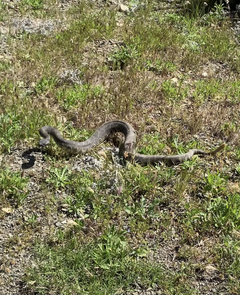
I turned around to see if the sound was behind me, but the rattle faded. I turned back around and he kept rattling. I held my hiking pole out in front of me to see if I could locate him, but he didn’t rattle any louder. I had sunglasses on and was in the shade, so it was hard to see much detail. I finally located his dark, coiled shape in a path to my right were I wasn’t going. He was ready to strike if I came any closer. I took this picture and backed away.

This guy stopped me in my tracks. Luckily, he saw me first when I was about 10′ away. I’d see him again on my way out of camp.
I made it to camp about 1:00 and started looking for the hot springs. I dropped my pack at the only available campsite that I could find. The campsite had commanding views of the valley, but was rather exposed at the top of the hill. I’d talked to four guys on their way out earlier in the day and they said that the springs were far up the canyon. I went above my camp looking for the springs and couldn’t find them anywhere.

I eventually turned back around and ran into two couples who were staying for the week in the second campsite known as Palm Tree Camp. They were twenty somethings and one guy had long pony tails and the others looked like they might be camping out for quite a while. The leader of the camp was a friendly girl who had a nose ring. She showed me where the springs were and told me how they would be at the springs when the sun went down on the springs.

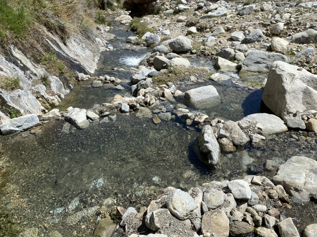
The sun was glaring down on me when I got in the hot springs. Copious amounts of 135 degree water flowed into the first tub and it was way too hot to lay in. I went to another rock bath where cold water was mixing with the extra-hot water. The pools were being baked by the sun at this time of the day.

The series of hot springs went from steeping hot on top to cold when the cold creek mixed to cool it off. I could only stay a few minutes before I was too hot to stay while the sun beat down. I joined the others in the hot springs once this fell into shade around 6:00.

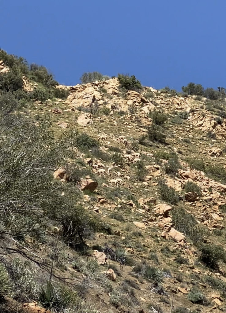
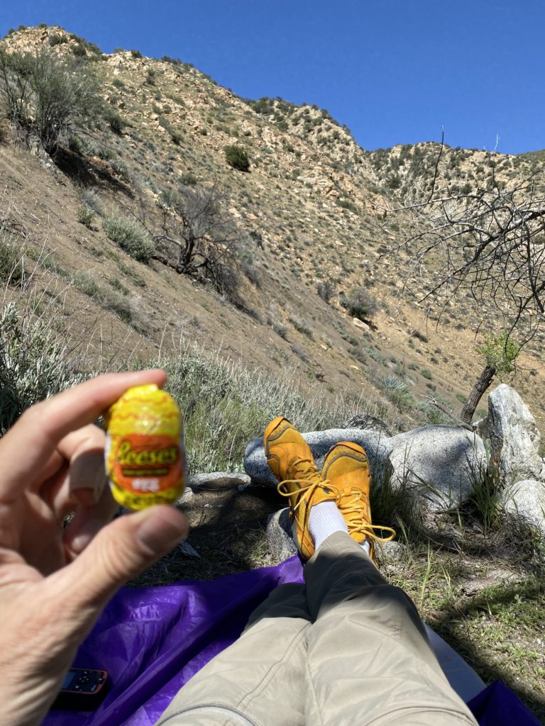
I knew it wasn’t a good idea to boil in the hot springs in the direct sun for long. The air was probably 85 degrees and the direct sun made it feel like 105F. I only soaked in the 103F water for a few minutes before I was too hot. I went back up to my camp and laid in the shade watching the big horn sheep above camp. I ate some more Easter candy and gazed up at the sheep grazing a few hundred feet above me on steep cliffs.

The Bighorn Sheep used to live in this area until diseases from livestock killed them off around 1900. These sheep were reintroduced in
A Reeses Egg filled my mouth with some delicious sugar while I watched the big horn sheep graze on the cliffs above my camp. The sheep are perfectly camouflaged in the rocks, but it’s easier to see them in the video when they moved.

Late in the afternoon, the wind picked up and I looked for a less exposed campsite. The campsites were few and far between and I didn’t find one good enough to make me want to move. I should have taken a compromised one in a lower spot away from the wind, but I didn’t know there was going to be a major windstorm that night.

My tent is tall and makes a good sail, so I decided to sleep out under the stars that night instead of having my tent get blown down in the middle of the night. The tent also flaps in the wind like crazy, so I thought I’d sleep fine under the stars. I didn’t. After dark, the winds picked up and blew the ancient cottonwoods above my head. Many of the old limbs were dead and I feared one might fall on me.

As I lay there watching the big dipper rotate around the North Star, I could tell the time by its position. To quiet the gusty winds, I listened to Stephen Hawking’s book Brief Answers to Big Questions. The book is a very interesting read and better than his other book A Brief History of Time. Stephen talked about his personal life dealing with ALS and all the cool things he figured out and knew about black holes. I faded in and out all night, but never slept for more than an hour at a time. I wish I would have slept better, but I did the best I could.

I slept under the stars in the clearing on the left. I looked through the half-dead cottonwoods and worried that one of the dead branches might fall on me in the night. On top of that, I worried that the rattlesnake I saw would climb into my sleeping bag with me for some warmth. I should have been worried about the bugs that did crawl in and bit me all over.

Hiking Stats:

Day 2 to Sespe Hot Springs
Length6 Miles
Elevation Gain500′
Elevation Loss500′
NotesSix crossings of the creek kept my feet wet.

Day 1 To Sespe Hot Springs: Swollen Rivers, Lizard Escorts and a Hot Tub

I last wrote to you about being in a snow, wind and rain storm in the mountains above Santa Barbara. That storm turned out to be a string of storms that lasted until the day I hit the trail again on Monday, April 20th, 2020. I got to the trailhead and talked to a woman about the hike and she warned me that “There’s a lot of water out there!”. She told me how the river was deeper than her waist and how she teabagged half of her pack in the deep Sespe river.

It didn’t take long to see what she was talking about because I had to cross multiple creeks within the first half mile. My waterproof boots were soon leaking after barely dipping my foot in a creek. When I came to another creek crossing where the water was about two feet deep, I had to make a decision. I could have taken my boots off and worn my camp shoes across, but I figured that would take too much time. There were many more crossings, so I bit the bullet and walked across with my boots on.

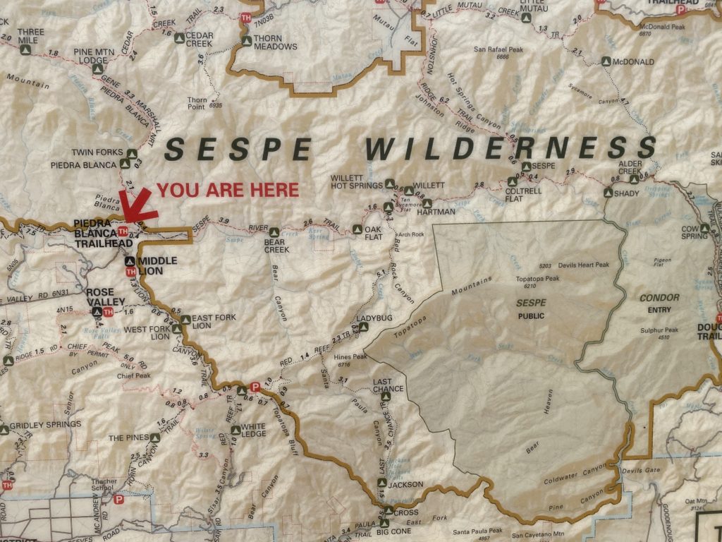
I hiked nine miles the first night from Piedra Blanca Trailhead to Willett Hot Springs. It was mostly downhill and would have been an easy hike except for the river crossings. The thick brown line shows the extent of the Sespe Wilderness Area and the light green light shows the extent of the Sespe Condor Sanctuary.

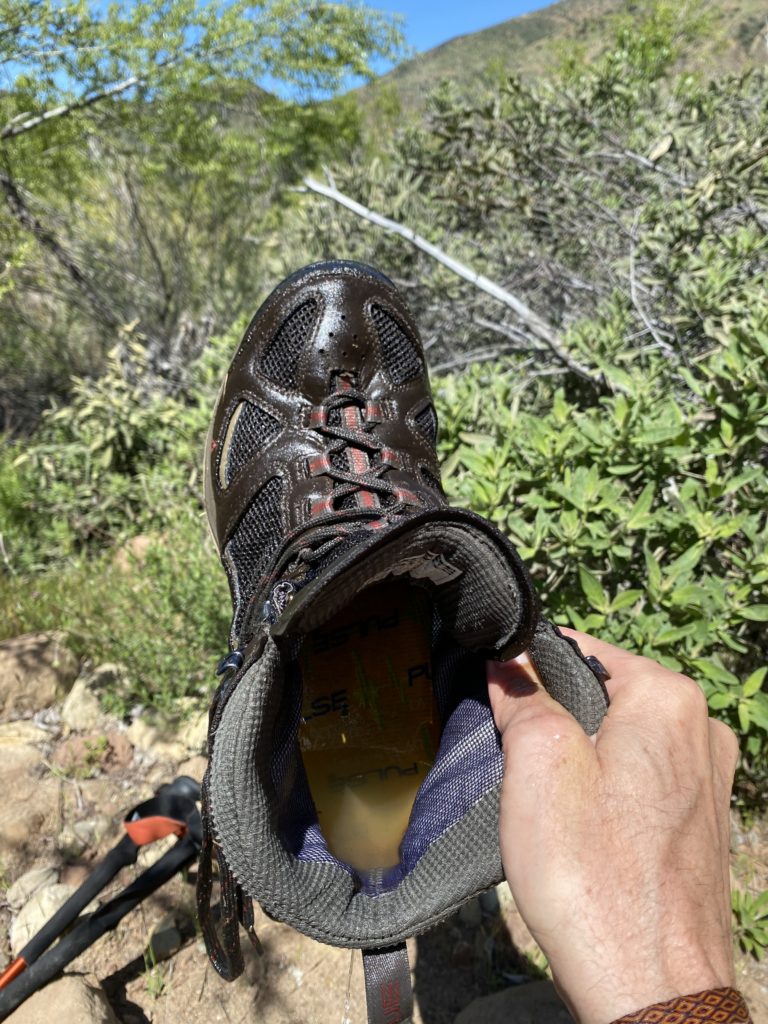
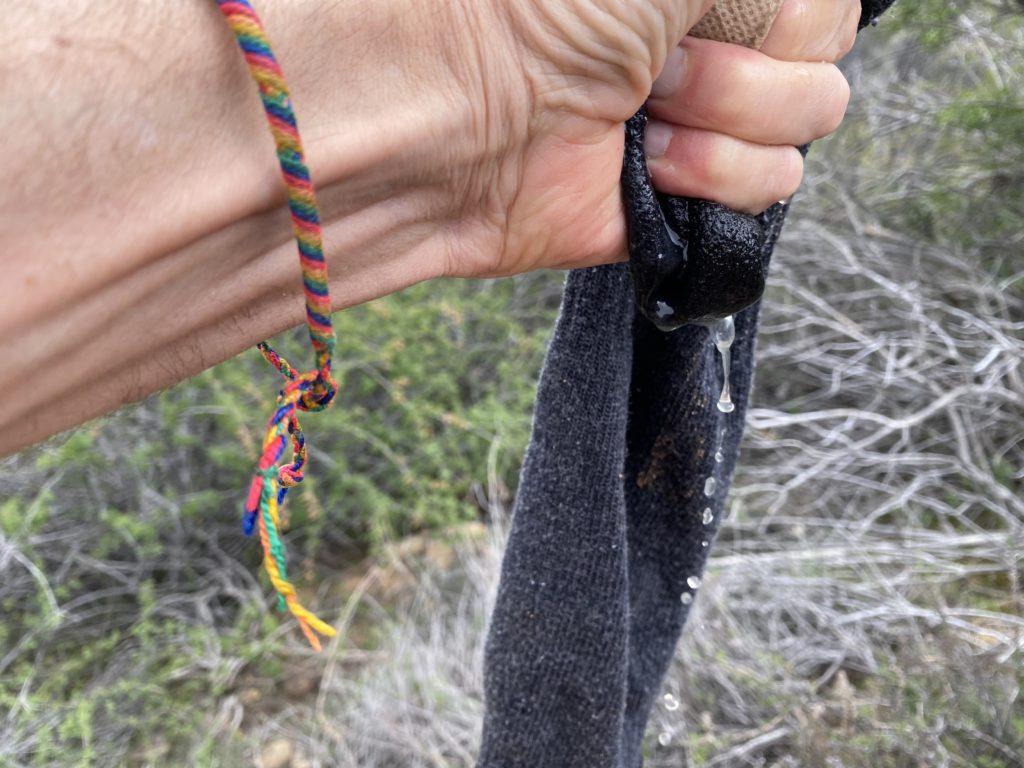
As I trudged across the knee-deep water, my size 14 boots filled with water and my feet were nicely chilled. I got out and leaned on a rock and lifted one foot over my knee to create a three legged down dog pose. The water poured down my leg and off my knee. I moved my foot around and squeezed more water out of the lining of my boot that was super-absorbent. The weight of my boot doubled with all of the excess water from less than a pound to over two pounds. Over nine miles, this extra weight would make a huge difference.

That’s a half a cup of water in the bottom of my boot. Much more water was absorbed in the spongy layer around the edge of my boot.
Wringing my wet socks out.

I should have checked the map before I jumped in the creek, because the next four miles didn’t have a creek crossing. I felt like Frankenstein walking around in lead boots. I stopped and took my boots off and squeezed my soggy socks out, but they were far from dry.

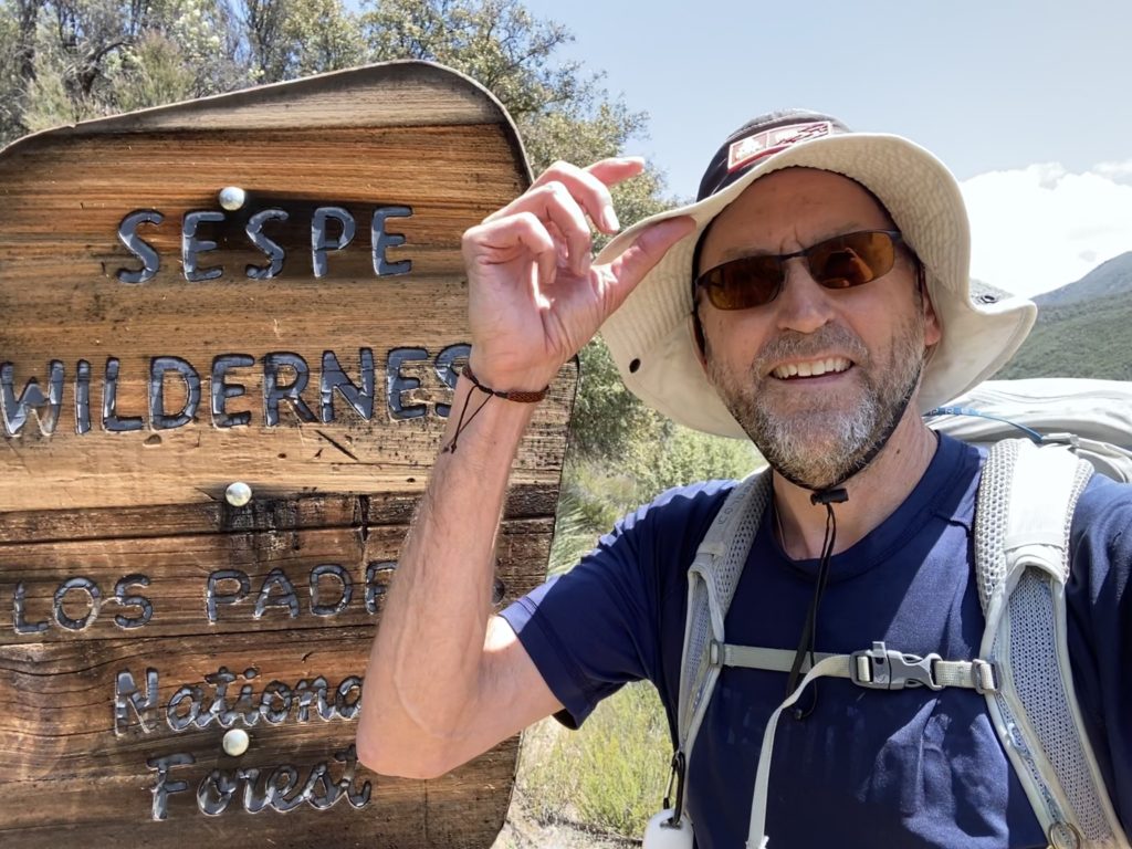
I entered the Sespe Wilderness – the largest wilderness area next to a major metropolitan area – Los Angeles. The Sespe Wilderness covers 219,000 acres in the Topa Topa mountains and most of the area south of the river was part of the Sespe Condor Sanctuary that was established in 1947. I was hoping to see one of these endangered, majestic vultures plying the air, but none appeared.

Wilderness Areas are designated by Congress and no roads can go through a Wilderness Area. Wilderness is defined as, “an area where the earth and community of life are untrammeled by man, where man himself is a visitor who does not remain” and “an area of undeveloped Federal land retaining its primeval character and influence, without permanent improvements or human habitation, which is protected and managed so as to preserve its natural conditions.” About 11 million acres or 4.5% of America is designated Wilderness.

After the cool river/creek crossings, I was walking in sage brush and green meadows. It was partly cloudy and only 75 degrees that day – possibly the last cool day of the season. The next day and for the foreseeable future, the temp would be in the upper 80s. I had to go now to avoid the 90 and 100 degree days that would soon be coming.

Besides feeling like Frankenstein hiking in lead boots, the next few miles went by well. I had to cross the creek five more times. Each time I got out, I’d feel the fresh water in my boots. I eventually took off my socks and my feet seemed to work fine without the extra cushion and sogginess of the socks.

Lizards were perched on rocks every few yards on the trail. I saw well over one hundred as the miles wore on. The funniest ones would walk on the trail in front of me. They would scurry at twice my speed ahead of me and stop to seemingly wait for me. As my shadow approached them, they would scurry farther down the trail. This repeated over and over as they escorted me down the trail for a hundred yards at a time. Finally, they would drop off the trail and into the scrub. Then another would jump on the trail and lead me to the promised land.

I took a few breaks and ate a lot of half-price Easter candy on the trail. My favorite was a foot-long, Nerd Rope. I ate the whole thing in one mouthful. For dinner, I had some delicious Three Cheese Mac and Cheese. I decided to hike up the hill for an all-natural dinner in the hot tub.

Here are a few pics from the trail.

Entering the Sespe Wilderness Area.
Some sweet river-carved rocks with the Topa Topa mountains rising in the background. I could see a few patches of snow on the hike in, but they were gone when I hiked out three days later.
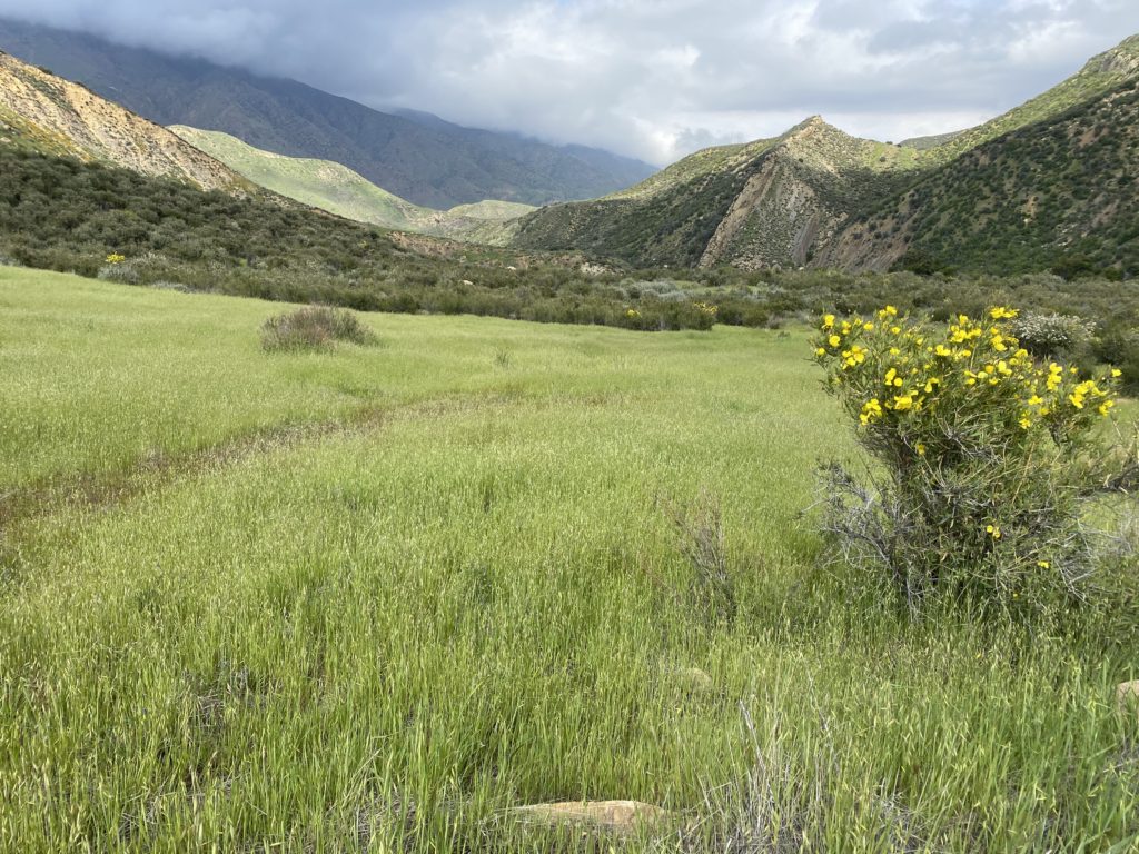
Waving fields of grass blew in the wind. The grass will be brown in a few more weeks of sun and 90 degree weather.
Some of the last clouds on the 6,000′ mountains. The clouds were soon gone and summer kicked in.
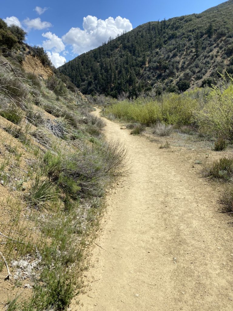
The trail mainly followed the old road that went to Sespe Camp below Sespe Hot Springs. Since the road wasn’t maintained for about 50 years, most of it has been overgrown and eroded away. The first few miles were in pretty good shape.
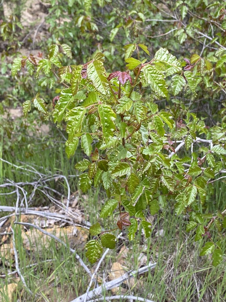
Love thy enemy – that’s some shiny poison oak.
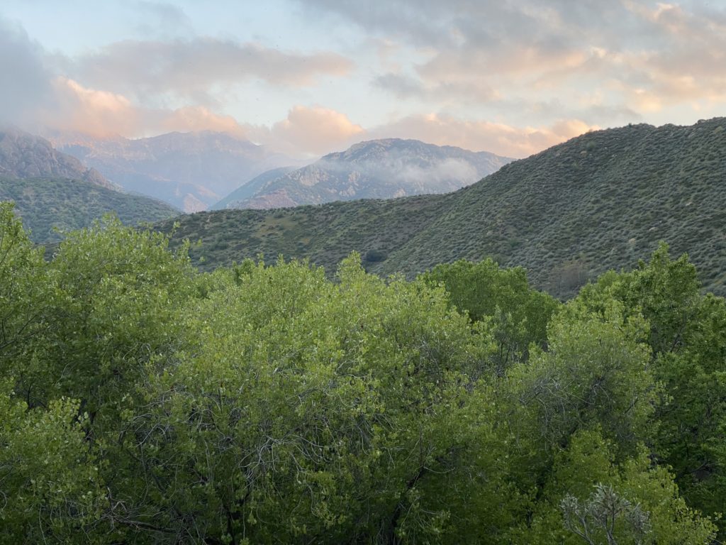
Some colorful clouds at sunset over the Topa Topa Mountains.
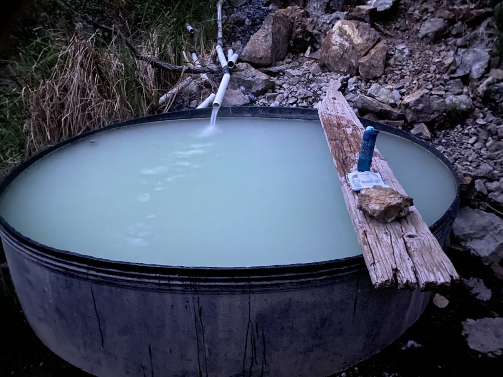
The Willett Hot Springs Tub at the end of the day. I ate my Three Cheese Mac and Cheese re-hydrated dinner in the tub by myself.

Day 4 From Mission Pine Basin: Rain, Wind and Snow for 13 Miles

We knew the storm was coming. We had weather forecasts from the day before and expected it to hit around noon. We had to hike 12.8 miles and planned to leave camp by 7:30 to miss the brunt of the storm. I woke up about 6am and heard the wind blowing in the pines and water dripping on the tent. When the moon set and the clouds rolled in, my tent got eerily dark.

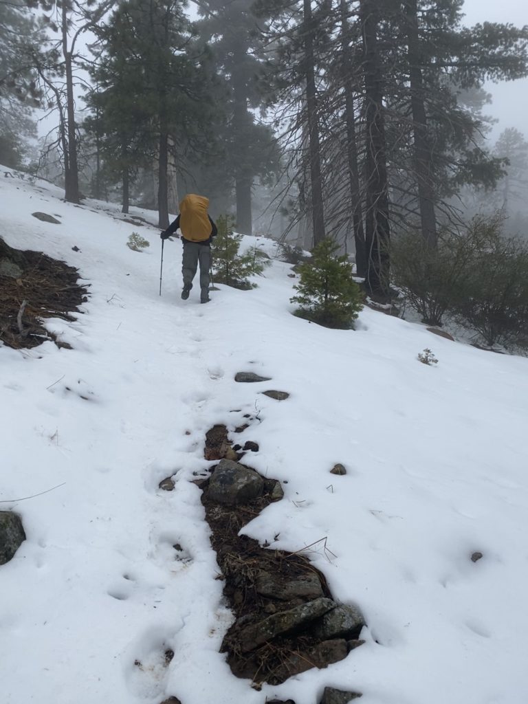
The winds continued to increase and Chip and I yelled back and forth across the camp so that we could be ready at the same time. I packed my wet tent and we hit the road at 7:33. We were in the relative shelter of the pine-covered valley for the first half hour. As we rose above 6,000′, the light rain turned to snow. The snow was much preferred because it would bounce off of us instead of sticking to our raingear.

Above 6,000′, we were back in the snow and thick fog. Several inches of snow had melted over the last couple days, but it was building again. Two more feet of snow has fallen up here since we left.

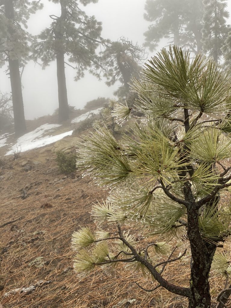
My leather gloves were soaked with rain before we reached the top of the mountain. I had trouble snapping my hip belt shut and keeping my poncho straight in the wind and rain. The hike was quite a slog up the mountain, but at least we were warm and sheltered from most of the winds until we got on top. When we summited, the icy winds hit us right in the face. Where butterflies had flown a couple days earlier, the pine needles were now covered in ice.

The freezing rain turned into ice on the pine needles.

We couldn’t enjoy any of the views on top because we were in the clouds. We were on a death march and didn’t stop to eat or chat. We had a long time to go and we knew the storm would only get worse if we waited, so we marched on.

We thought that the winds would get less as we went down in elevation from 6,500′ to 3,000′, but the winds varied tremendously. Like on the way in, some times the wind would blow from the left or south on one ridge and from the right or north on another ridge. My poncho would blow off my back and Chip would help me get it straightened again.

The wind was often blowing up the hill and sideways. My poncho works well in an overhead rain, but it doesn’t work at all when the rain comes from below. It actually even captures some of rain on the inside and trapped it. Chip nor I had waterproof pants on, so my legs were soaking wet and water dripped down my leg and into my socks. My boots were soggy and I took my wet gloves off so I could hold my poncho down. The temperature was in the upper 30s to low 40s, so we kept walking to stay warm.

We stopped at McKinley Springs Campground to get some water, but other than that we didn’t even stop for lunch. We just hiked for almost 13 miles in the whipping winds and rain. The mud caked up on our boots and we had to scrape it off repeatedly. The downhill hike on the road would be enjoyable with views on most days, but we were unfortunately looking into clouds instead of panoramic 60 mile views.

We shifted the whole trip by a day to avoid this storm, but it came early and got us real good. We made it to my car at Cachuma Saddle at about 1:30, so we hiked over 2 mph for six hours – double the speed of the second day. We had three days of good weather and one day of bad. It’s rained in Santa Barbara every day since then and the weatherwoman said that they’ve gotten a couple feet of snow on the mountains since we left. I’m glad we went when we did and got out safely. Quite an expedition.

Here’s the video from the last day. I caught some pretty good pictures of the clouds and wind racing over the ridges we traversed.